
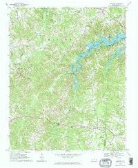
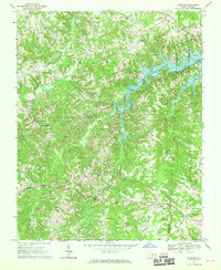
1968 Map of Leasburg
USGS Topo · Published 1969About this map
Leasburg and the surrounding Caswell County countryside are captured here in the late 1960s, a period defined by the recent creation of Hyco Lake. This expansive reservoir dominates the eastern half of the map, its complex fingers reaching into the valleys once carved by Hyco Creek and Cobbs Creek. The landscape transitions from these new shorelines to traditional North Carolina uplands, where historical community life centered on a dense network of country churches like Olive Hill Ch and St James Ch. Evidence of the region's infrastructure and rural industry is visible through labels for Blanch Prison, a local Quarry, and the Pipeline corridors cutting through the terrain. From the northern settlement of Semora down to the southern roads, the map details the transition of a landscape shifting from agricultural roots toward new recreational and utility uses.
Find a feature on this map
41 named features on this map. Tap any name to fly to it.
Don’t see what you’re looking for? This feature index may not catch every label — zoom into the map to look around manually.
Map Details
Editions of this 1968 Leasburg Map
3 editions found
Other maps of this area

1923 · Danville
USGS Topo · 1:48,000

1925 · Danville
USGS Topo · 1:62,500

1952 · Milton
USGS Topo · 1:62,500

1953 · Greensboro
USGS Topo · 1:250,000

1954 · Greensboro
USGS Topo · 1:250,000

1956 · Milton
USGS Topo · 1:62,500

1962 · Greensboro
USGS Topo · 1:250,000

1965 · Ringgold
USGS Topo · 1:24,000

1966 · Greensboro
USGS Topo · 1:250,000

1968 · Ridgeville
USGS Topo · 1:24,000