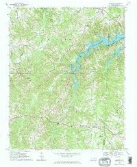
1968 Map of Leasburg
USGS Topo · Published 1969About this map
Hyco Lake dominates the eastern half of this Caswell County landscape, its winding fingers reaching into the surrounding Piedmont terrain. This 1968 field-checked survey illustrates a rural community defined by its crossroads and country churches, such as Gilead Ch and Welcome Ch. The settlement of Leasburg serves as a southern anchor, situated near the headwaters of Cobbs Creek and the Hyco River drainage system.
Find a feature on this map
37 named features on this map. Tap any name to fly to it.
Don’t see what you’re looking for? This feature index may not catch every label — zoom into the map to look around manually.
Map Details
Editions of this 1968 Leasburg Map
3 editions found
Other maps of this area

1923 · Danville
USGS Topo · 1:48,000

1925 · Danville
USGS Topo · 1:62,500

1952 · Milton
USGS Topo · 1:62,500

1953 · Greensboro
USGS Topo · 1:250,000

1954 · Greensboro
USGS Topo · 1:250,000

1956 · Milton
USGS Topo · 1:62,500

1962 · Greensboro
USGS Topo · 1:250,000

1965 · Ringgold
USGS Topo · 1:24,000

1966 · Greensboro
USGS Topo · 1:250,000

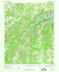
1968 · Leasburg
USGS Topo · 1:24,000