Loading...
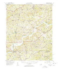
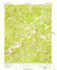
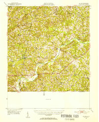
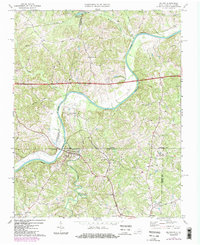
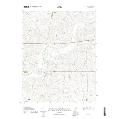
Loading map...1956 Map of Milton
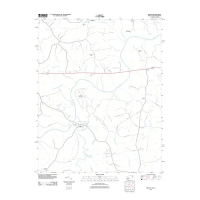
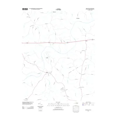
USGS Topo · Published 1957About this map
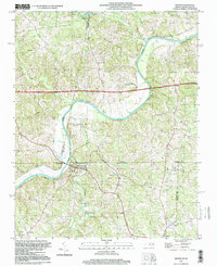
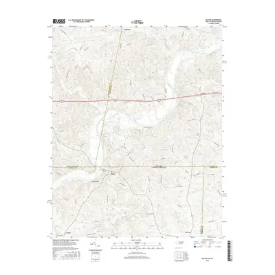
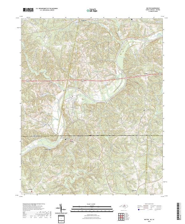
The Dan River meanders across the border of Virginia and North Carolina, defining a landscape shaped by water power and rail transit in the mid-1950s. The village of Milton serves as a focal point near the state line, where the Southern railway and the Atlantic and Danville lines intersect the rural Piedmont. The area's agricultural history is evidenced by numerous local processing sites such as Sutherlin Millpond, McGehees Mill, and Old Mill, which anchored smaller crossroads like Turbeville and Semora.
Find a feature on this map
99 named features on this map. Tap any name to fly to it.
Don’t see what you’re looking for? This feature index may not catch every label — zoom into the map to look around manually.
Map Details
Date Portrayed1956
Date Published1957
PublisherU.S. Geological Survey
Map TypeTopographic
Scale1:62,500
Physical Dimensions17.9 x 21.9 inches
Editions of this 1956 Milton Map
2 editions found
Historical Maps of Yanceyville Through Time
9 maps found
Featured Locations
Source Details
SourceU.S. Geological Survey
CopyrightPublic Domain