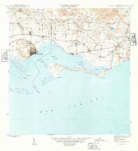
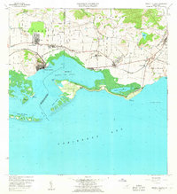
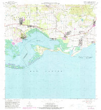
1945 Map of Central Aguirre
USGS Topo · Published 1945About this map
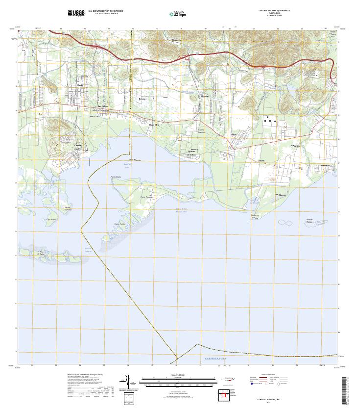
Central Aguirre and the surrounding coastline of Bahía de Jobos define this mid-1940s landscape, where industrial agriculture and maritime access converged on the southern shore of Puerto Rico. The area is marked by a complex network of water management and transport infrastructure, including the Canal de Guamaní and the Ponce and Guayama rail line, which served the sugar economy. Clusters of residential and agricultural activity appear at Coquí, San Felipe, and Villa Odas, while the interior features landmarks like the Central Guamaní sugar mill.
Find a feature on this map
43 named features on this map. Tap any name to fly to it.
Don’t see what you’re looking for? This feature index may not catch every label — zoom into the map to look around manually.
Map Details
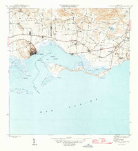
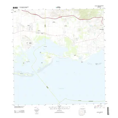
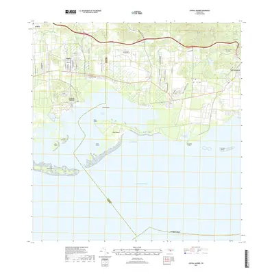
Editions of this 1945 Central Aguirre Map
3 editions found
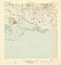
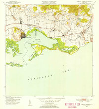
Historical Maps of Cimarrona Through Time
7 maps found
Featured Locations
- Las Mareas, Guayama
- Cimarrona, Guayama
- Parcelas Viejas de Cimarrona, Guayama
- Estancias de Villa Hermosa, Guayama
- Reunión, Guayama