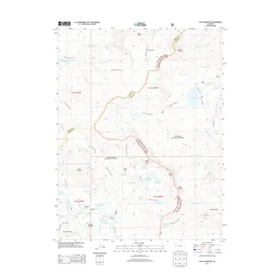
2013 Map of Chalk Mountain
USGS Topo · Published 2013About this map
Grand Mesa dominates this high-altitude landscape along the border of Mesa and Delta Counties, characterized by an extensive system of water management and alpine terrain. The region is defined by a dense network of reservoirs and ditches, including the Overland Reservoir and the Overland Ditch, which redirect water across the plateau. Named peaks such as Chalk Mountain, Mount Hatten, and Crater Peak provide clear landmarks for navigating the wilderness, while the presence of the Grand Mesa National Forest and Gunnison National Forest underscores the protected status of these headwaters.
Find a feature on this map
72 named features on this map. Tap any name to fly to it.
Don’t see what you’re looking for? This feature index may not catch every label — zoom into the map to look around manually.
Map Details
Editions of this 2013 Chalk Mountain Map
This is the sole edition of this map. No revisions or reprints were ever made.
Other maps of this area

1955 · The Meadows
USGS Topo · 1:24,000

1956 · Montrose
USGS Topo · 1:250,000

1957 · Leadville
USGS Topo · 1:250,000

1959 · Leadville
USGS Topo · 1:250,000

1959 · Montrose
USGS Topo · 1:250,000

1960 · Leadville
USGS Topo · 1:250,000

1960 · Montrose
USGS Topo · 1:250,000

1960 · Leon Peak
USGS Topo · 1:24,000

1961 · Electric Mountain
USGS Topo · 1:24,000

1961 · Porter Mountain
USGS Topo · 1:24,000