2022 Map of Charter Oak
USGS Topo · Published 2022About this map
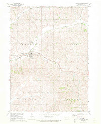
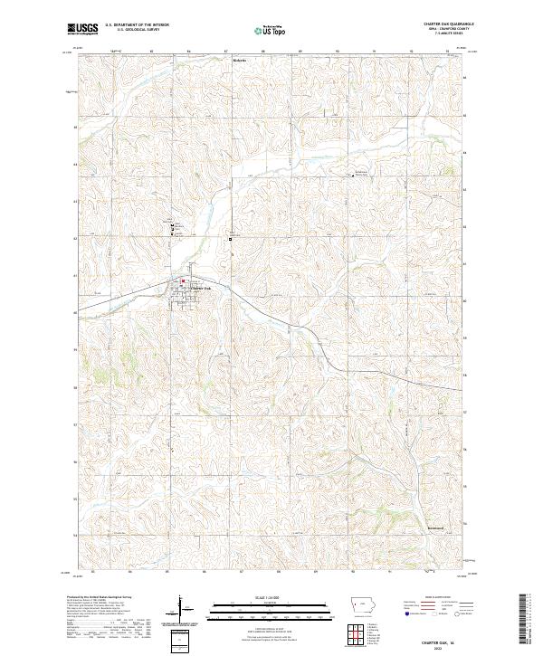
The town of Charter Oak sits at the heart of this Crawford County landscape, where the local road network centers on Main St and Railroad St. This region is defined by the branching drainage of the Soldier and Willow rivers, including the winding paths of the Middle Soldier River and East Soldier River. Several community landmarks provide significant genealogical value, notably the cluster of burial sites including Saint Boniface Cem, Saint John Cem, and the Charter Oak Cem just north of the main settlement. Further afield, the Bockelmann Family Cem and Saint Pauls Cem indicate the scattered nature of early family holdings. Small settlements like Ricketts in the north and Kenwood in the southeast corner mark the extent of the local agricultural community, connected by established routes such as Co Hwy E36 and Co Hwy E46.
Find a feature on this map
37 named features on this map. Tap any name to fly to it.
Don’t see what you’re looking for? This feature index may not catch every label — zoom into the map to look around manually.
Map Details
Editions of this 2022 Charter Oak Map
This is the sole edition of this map. No revisions or reprints were ever made.