2022 Map of Chelsea
USGS Topo · Published 2022About this map
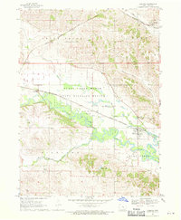
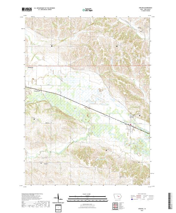
Chelsea sits at the confluence of the Iowa River and Otter Creek, serving as the primary hub in this portion of Tama County. The landscape is defined by the broad, marshy floodplain of the river valley, which separates the rolling uplands to the north and south. The map reveals a dense distribution of rural burial sites, including the Independent Order of Odd Fellows Cem and Saint Josephs Cem near Chelsea, as well as family-named grounds like Hayes Cem and Stayskal Cem. Smaller crossroads communities such as Gladstone, Helena, and Haven anchor the surrounding sections, connected by a network of numbered county roads like Co Rd E66. To the north, Vining marks the edge of the survey where Wolf Cr begins to wind through the hills.
Find a feature on this map
44 named features on this map. Tap any name to fly to it.
Don’t see what you’re looking for? This feature index may not catch every label — zoom into the map to look around manually.
Map Details
Editions of this 2022 Chelsea Map
This is the sole edition of this map. No revisions or reprints were ever made.