2022 Map of Cherokee
USGS Topo · Published 2022About this map
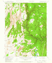
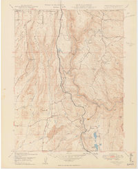
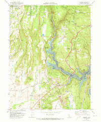
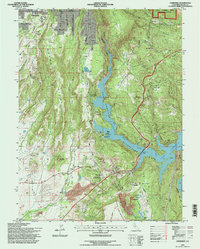
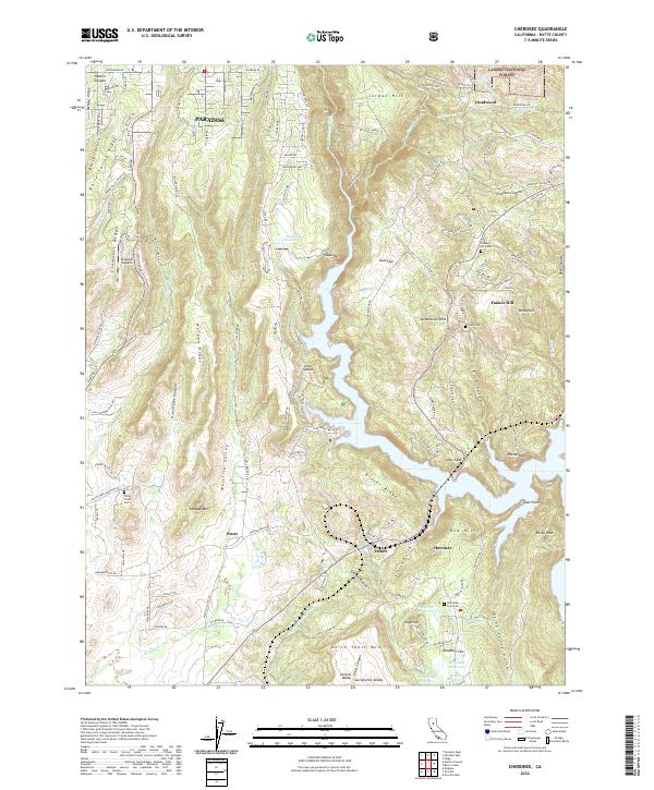
Paradise and the surrounding Sierra Nevada foothills are defined here by a complex geography of ridges and steep ravines, where the West Branch Feather River winds through deep canyons like Dark Canyon. The landscape is etched with the water-management history of California's Gold Country, featuring the Upper Miocene Canal, Wilenor Ditch, and Kunkle Reservoir. These structures speak to the enduring infrastructure required for both hydraulic mining and later agricultural and municipal needs.
Find a feature on this map
142 named features on this map. Tap any name to fly to it.
Don’t see what you’re looking for? This feature index may not catch every label — zoom into the map to look around manually.
Map Details
Editions of this 2022 Cherokee Map
This is the sole edition of this map. No revisions or reprints were ever made.
Historical Maps of Paradise Through Time
5 maps found