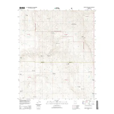
2014 Map of Cherry Spring Peak
USGS Topo · Published 2014About this map
Bradberry sits at the heart of this high-desert landscape, located where the boundary between Graham and Cochise counties meets the southern reaches of the Coronado National Forest. This 2014 survey reveals a rugged network of drainage systems and isolated water sources essential for life in the Galiuro Mountains. Significant geographic features such as Cherry Spring Peak and Sol Rhea Saddle dominate the topography, while a series of remote springs including Stone Cabin Spring, Wootan Spring, and Patterson Spring mark the few points of reliable hydration across the sun-scorched terrain.
Find a feature on this map
44 named features on this map. Tap any name to fly to it.
Don’t see what you’re looking for? This feature index may not catch every label — zoom into the map to look around manually.
Map Details
Editions of this 2014 Cherry Spring Peak Map
This is the sole edition of this map. No revisions or reprints were ever made.
Other maps of this area

1938 · Galiuro Mts
USGS Topo · 1:48,000

1940 · Sierra Bonita Ranch
USGS Topo · 1:62,500

1942 · Sierra Bonita Ranch
USGS Topo · 1:62,500

1943 · Galiuro Mts
USGS Topo · 1:62,500

1943 · Sierra Bonita Ranch
USGS Topo · 1:62,500

1943 · Winchester Mts.
USGS Topo · 1:62,500

1945 · Redington
USGS Topo · 1:62,500

1945 · Winchester Mts.
USGS Topo · 1:62,500

1956 · Tucson
USGS Topo · 1:250,000

1957 · Redington
USGS Topo · 1:62,500