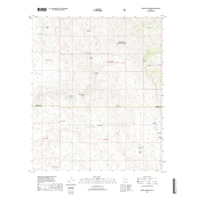
2018 Map of Cherry Spring Peak
USGS Topo · Published 2018About this map
Bradberry sits at the heart of this high-elevation landscape, where the Galiuro Mountains intersect the Coronado National Forest. This 2018 survey reveals a terrain defined by deep drainage systems and naming conventions that reflect early ranching and pioneer heritage, such as Stone Cabin Spring and Wooton Spring. The map documents the boundary between Graham and Cochise counties as it cuts through the northern slopes of Cherry Spring Peak.
Find a feature on this map
45 named features on this map. Tap any name to fly to it.
Don’t see what you’re looking for? This feature index may not catch every label — zoom into the map to look around manually.
Map Details
Editions of this 2018 Cherry Spring Peak Map
This is the sole edition of this map. No revisions or reprints were ever made.
Other maps of this area

1938 · Galiuro Mts
USGS Topo · 1:48,000

1940 · Sierra Bonita Ranch
USGS Topo · 1:62,500

1942 · Sierra Bonita Ranch
USGS Topo · 1:62,500

1943 · Galiuro Mts
USGS Topo · 1:62,500

1943 · Sierra Bonita Ranch
USGS Topo · 1:62,500

1943 · Winchester Mts.
USGS Topo · 1:62,500

1945 · Redington
USGS Topo · 1:62,500

1945 · Winchester Mts.
USGS Topo · 1:62,500

1956 · Tucson
USGS Topo · 1:250,000

1957 · Redington
USGS Topo · 1:62,500