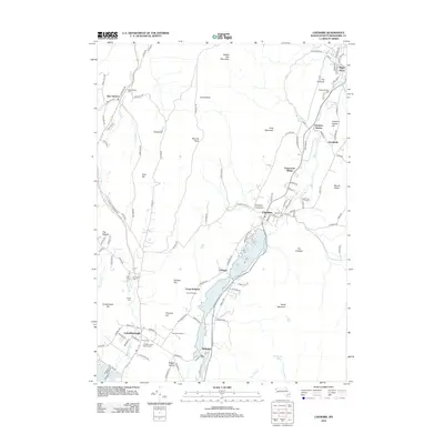
2012 Map of Cheshire
USGS Topo · Published 2012About this map
The Hoosic River valley forms a central corridor through the Berkshire landscape, connecting the industrial and residential clusters of Cheshire, Maple Grove, and Lanesborough. In the northern reaches, the Phillips Woolen Mill stands near the water, marking the region's historic reliance on river-driven industry. The massive Cheshire Reservoir dominates the mid-section of the map, flanked by the residential pockets of Farnams and Town Crest Village.
Find a feature on this map
122 named features on this map. Tap any name to fly to it.
Don’t see what you’re looking for? This feature index may not catch every label — zoom into the map to look around manually.
Map Details
Editions of this 2012 Cheshire Map
This is the sole edition of this map. No revisions or reprints were ever made.
Other maps of this area

1886 · Greylock
USGS Topo · 1:62,500

1886 · Becket
USGS Topo · 1:62,500

1888 · Becket
USGS Topo · 1:62,500

1888 · Berlin
USGS Topo · 1:62,500

1888 · Pittsfield
USGS Topo · 1:62,500

1890 · Pittsfield
USGS Topo · 1:62,500

1890 · Berlin
USGS Topo · 1:62,500

1891 · Greylock
USGS Topo · 1:62,500

1893 · Becket
USGS Topo · 1:62,500

1893 · Greylock
USGS Topo · 1:62,500