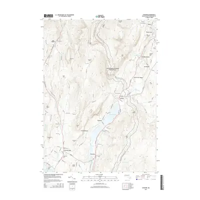
2015 Map of Cheshire
USGS Topo · Published 2015About this map
The Hoosic River valley corridor defines the settlement patterns of this 2015 survey, where the historic industrial and transit spine connects Adams in the north to Lanesborough and Berkshire in the south. The landscape is dominated by the steep rises of the Greylock Range and Saddle Ball Mtn, with the Appalachian National Scenic Trail winding through the high ridges. In the lowlands, the Cheshire Reservoir serves as a central landmark between the village of Cheshire and the small hamlet of Farnams.
Find a feature on this map
113 named features on this map. Tap any name to fly to it.
Don’t see what you’re looking for? This feature index may not catch every label — zoom into the map to look around manually.
Map Details
Editions of this 2015 Cheshire Map
This is the sole edition of this map. No revisions or reprints were ever made.
Other maps of this area

1886 · Greylock
USGS Topo · 1:62,500

1886 · Becket
USGS Topo · 1:62,500

1888 · Becket
USGS Topo · 1:62,500

1888 · Berlin
USGS Topo · 1:62,500

1888 · Pittsfield
USGS Topo · 1:62,500

1890 · Pittsfield
USGS Topo · 1:62,500

1890 · Berlin
USGS Topo · 1:62,500

1891 · Greylock
USGS Topo · 1:62,500

1893 · Becket
USGS Topo · 1:62,500

1893 · Greylock
USGS Topo · 1:62,500