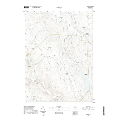
2021 Map of Chester
USGS Topo · Published 2021About this map
Middle Branch Westfield River and the West Branch Westfield River converge near the town of Chester, defining the steep topography of the eastern Berkshires. The landscape is dotted with several discrete hamlets and historical burying grounds, including the Chester Factory Village Cem and the Old Leonard Cem near Ringville. Settlement patterns follow the narrow river valleys and high ridges, with notable elevations like Gobble Mtn and Hickory Mtn overlooking the waterways. Industrial and transport history is represented by the CSX railroad corridor which skirts the southern edge of the map, while modern conservation is evident in the area surrounding Littleville Lake. This survey provides a clear view of the transition from upland farm roads like Ireland Street Cem to the concentrated village centers at North Chester and Littleville.
Find a feature on this map
125 named features on this map. Tap any name to fly to it.
Don’t see what you’re looking for? This feature index may not catch every label — zoom into the map to look around manually.
Map Details
Editions of this 2021 Chester Map
This is the sole edition of this map. No revisions or reprints were ever made.
Other maps of this area

1886 · Chesterfield
USGS Topo · 1:62,500

1886 · Becket
USGS Topo · 1:62,500

1887 · Granville
USGS Topo · 1:62,500

1888 · Becket
USGS Topo · 1:62,500

1888 · Sandisfield
USGS Topo · 1:62,500

1888 · Chesterfield
USGS Topo · 1:62,500

1889 · Granville
USGS Topo · 1:62,500

1893 · Granville
USGS Topo · 1:62,500

1893 · Chesterfield
USGS Topo · 1:62,500

1893 · Becket
USGS Topo · 1:62,500