Loading...
Loading map...2022 Map of Chetek
USGS Topo · Published 2022About this map
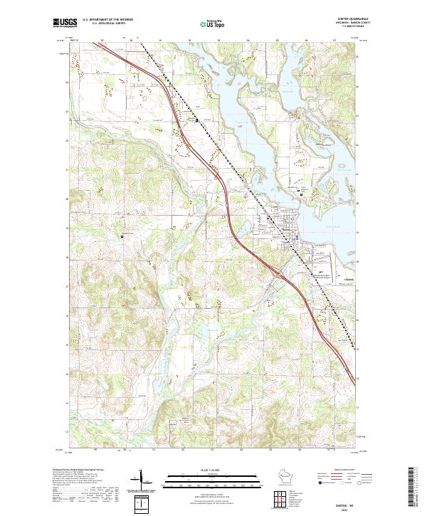
Chetek serves as the focal point of this Barron County landscape, positioned along the interconnected waters of Prairie Lake and Lake Chetek. The town is defined by its shoreline geometry, notably at The Narrows and the prominent Pittmans Point, where residential development meets the water's edge. Beyond the municipal center, the land transitions into a grid of rural avenues and numbered streets that reflect the agricultural character of the region.
Find a feature on this map
106 named features on this map. Tap any name to fly to it.
Don’t see what you’re looking for? This feature index may not catch every label — zoom into the map to look around manually.
Map Details
Date Portrayed2022
Date Published2022
PublisherU.S. Geological Survey
Map TypeTopographic
Scale1:24000
Physical Dimensions24 x 29 inches
Editions of this 2022 Chetek Map
This is the sole edition of this map. No revisions or reprints were ever made.
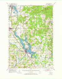
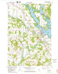
Historical Maps of Dovre Through Time
Featured Locations
Source Details
SourceU.S. Geological Survey
CopyrightPublic Domain