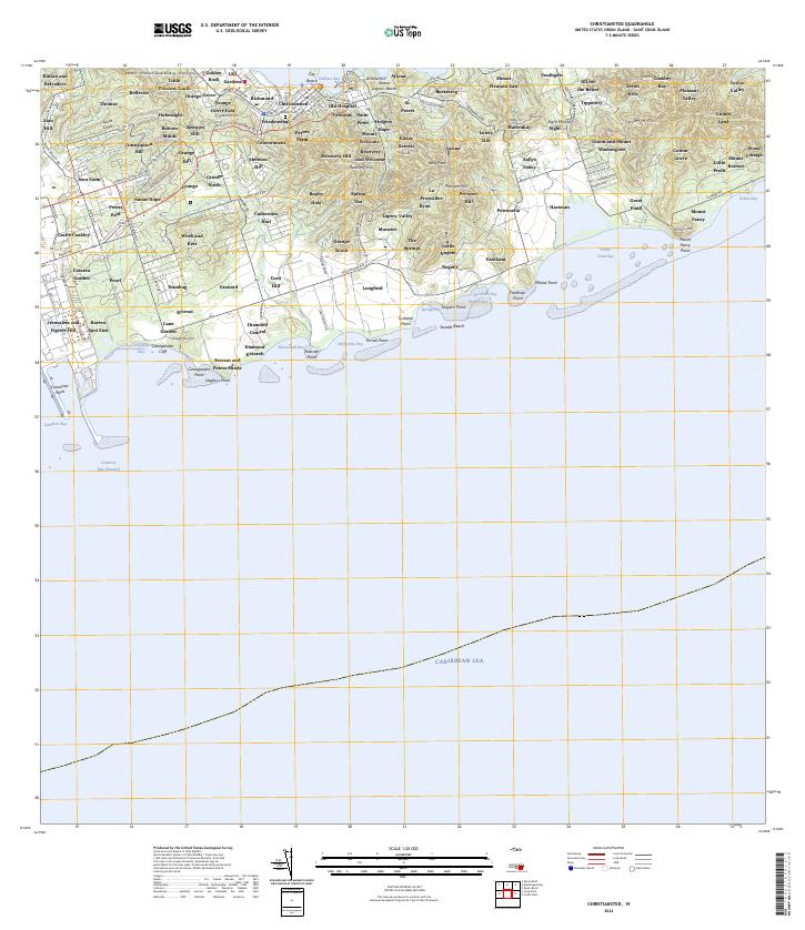
2024 Map of Christiansted
USGS Topo · Published 2024About this map
Saint Croix reveals a dense network of estates and historic urban centers centered on the port of Christiansted. The modern landscape preserves a remarkable continuity of historical nomenclature, where old estate names like Bulows Minde, Annas Hope, and Catherines Rest now identify contemporary neighborhoods and locales. Cultural heritage is anchored by the Christiansted National Historic Site and the Danish Cem, reflecting the island's colonial past. Along the southern coast, industrial and logistical infrastructure appears at Limetree Bay and Container Point, contrasting with the protected natural environment of Great Pond. This survey details how the traditional roads, such as Constitution Hill Rd and S Shore Rd, connect the coastal settlements with the interior high ground of Lang Peak.
Find a feature on this map
153 named features on this map. Tap any name to fly to it.
Don’t see what you’re looking for? This feature index may not catch every label — zoom into the map to look around manually.
Map Details
Editions of this 2024 Christiansted Map
This is the sole edition of this map. No revisions or reprints were ever made.
Other maps of this area
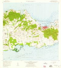
1958 · Christiansted
USGS Topo · 1:24,000
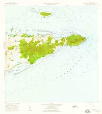
1958 · East Point
USGS Topo · 1:24,000
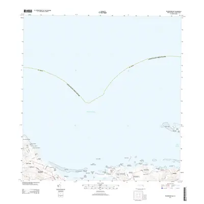
2013 · Beauregard Bay
USGS Topo · 1:20,000
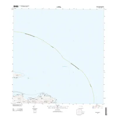
2013 · Buck Island
USGS Topo · 1:20,000
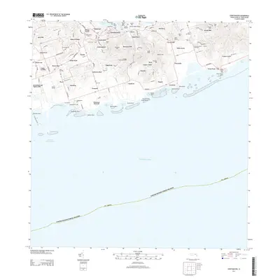
2013 · Christiansted
USGS Topo · 1:20,000
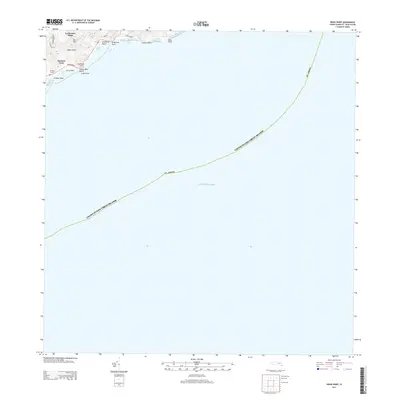
2013 · Grass Point
USGS Topo · 1:20,000
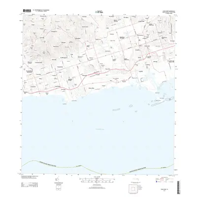
2013 · Long Point
USGS Topo · 1:20,000
2013 · Baron Bluff
USGS Topo · 1:20,000
2024 · Baron Bluff
USGS Topo · 1:20,000
2024 · Grass Point
USGS Topo · 1:20,000
Featured Places
- Longford (Anna's Hope Village), Saint Croix District
- Work and Rest, Saint Croix District
- Corn Hill, Saint Croix District
- Cotton Grove, Saint Croix District
- Little Princess South, Saint Croix District