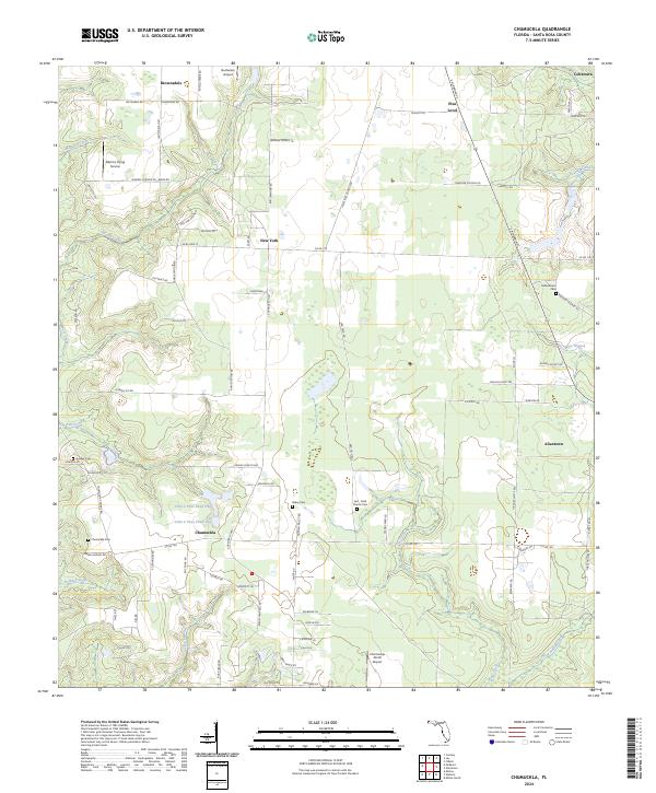
2024 Map of Chumuckla
USGS Topo · Published 2024About this map
The unincorporated community of Chumuckla serves as a central hub in this corner of Santa Rosa County, surrounded by a network of rural settlements including New York, Allentown, and Pine Level. The landscape is defined by its agricultural and forestry character, with numerous rural roads like Peanut Trl and Hoecake Ln hinting at the local heritage. Water features are prevalent throughout the terrain, notably John C Pace Pond One and John C Pace Pond Two, alongside the winding courses of Moore Creek and McDavid Creek. Local history is preserved in several small burial grounds, such as Bailey Cem, Juniper Cem, and the Ard - Field Church Cem, which are scattered among the timberlands and fields. Aviation presence is surprisingly high for such a rural area, with Buchanan Airport, Odom's Flying Service, and the Chumuckla 20-20 Airport providing essential links for the surrounding community.
Find a feature on this map
94 named features on this map. Tap any name to fly to it.
Don’t see what you’re looking for? This feature index may not catch every label — zoom into the map to look around manually.
Map Details
Editions of this 2024 Chumuckla Map
This is the sole edition of this map. No revisions or reprints were ever made.
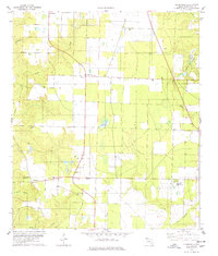
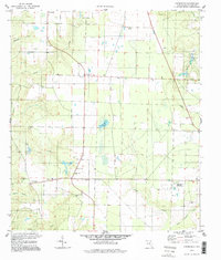
Historical Maps of New York Through Time
3 maps found