Loading...
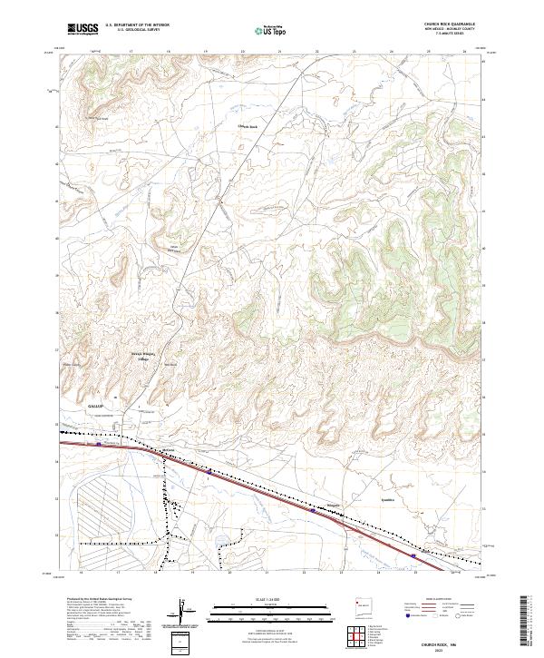
Loading map...2023 Map of Church Rock
USGS Topo · Published 2023About this map
Church Rock and its namesake sandstone formations anchor this study of the high desert landscape northeast of Gallup. The terrain is defined by dramatic geological features such as White Rock Mesa, Nose Rock Point, and the Red Rocks area, where the drainage of the Puerco River and the South Fork Puerco River carves through the red rock country. The map documents the residential patterns of Navajo Wingate Village and the proximity of historical stopping points like Wingate and Iyanbito.
Find a feature on this map
60 named features on this map. Tap any name to fly to it.
Don’t see what you’re looking for? This feature index may not catch every label — zoom into the map to look around manually.
Map Details
Date Portrayed2023
Date Published2023
PublisherU.S. Geological Survey
Map TypeTopographic
Scale1:24000
Physical Dimensions24 x 29 inches
Editions of this 2023 Church Rock Map
This is the sole edition of this map. No revisions or reprints were ever made.
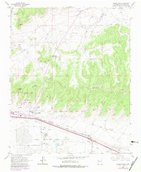
Historical Maps of Perea Through Time
Featured Locations
- Eastern Navajo Agency, NM
- Gallup, NM
- Perea, NM
- Navajo Wingate Village, Eastern Navajo Agency
- Wingate, Eastern Navajo Agency
Source Details
SourceU.S. Geological Survey
CopyrightPublic Domain