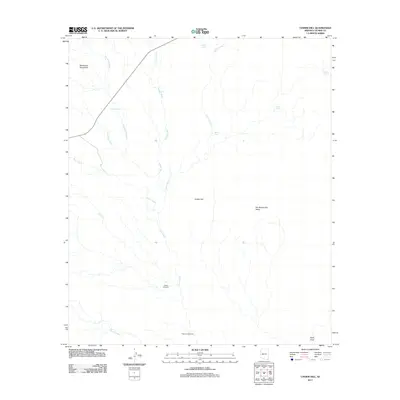
2011 Map of Cinder Hill
USGS Topo · Published 2011About this map
San Bernardino Valley dominates the lower elevations of this landscape, where the seasonal drainage systems of Silver Creek and Indian Creek converge. The terrain is defined by a network of water-management features essential for ranching in this arid corner of Cochise County, including family-named landmarks like Weldy Windmill and Reasoner Windmill. To the northwest, the Pedregosa Mountains rise sharply, their slopes dissected by named drainages such as Hackberry Wash and Deadmans Wash. The presence of several storage tanks, such as Main Tank and Mormon Tank, along with the solitary track of U.S. Route 80, reflects a sparsely populated area where cattle ranching and transit are the primary human imprints. This topographic study captures the relationship between the high desert peaks and the vast alluvial basin leading toward Black Draw.
Find a feature on this map
19 named features on this map. Tap any name to fly to it.
Don’t see what you’re looking for? This feature index may not catch every label — zoom into the map to look around manually.
Map Details
Editions of this 2011 Cinder Hill Map
This is the sole edition of this map. No revisions or reprints were ever made.
Other maps of this area

1917 · Chiricahua
USGS Topo · 1:125,000

1919 · Perilla
USGS Topo · 1:125,000

1919 · Chiricahua
USGS Topo · 1:125,000

1922 · McDonald
USGS Topo · 1:62,500

1926 · Pedregosa
USGS Topo · 1:62,500

1940 · Apache
USGS Topo · 1:62,500

1940 · College Peaks
USGS Topo · 1:62,500

1955 · Douglas
USGS Topo · 1:250,000

1958 · Apache
USGS Topo · 1:62,500

1958 · Guadalupe Canyon
USGS Topo · 1:62,500