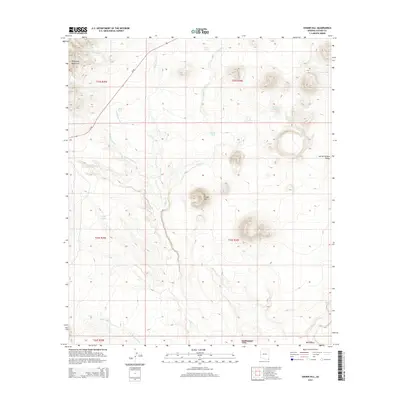
2014 Map of Cinder Hill
USGS Topo · Published 2014About this map
Cinder Hill stands as a prominent landmark within the San Bernardino Valley, a high-desert landscape defined by complex drainage networks and volcanic topography. This territory in southeastern Arizona is carved by numerous ephemeral watercourses, including the north-south flow of Indian Cr and the extensive reach of Hackberry Wash. The northwestern corner of the quadrangle transitions into the foothills of the Pedregosa Mountains, where the elevation rises and the terrain becomes more broken.
Find a feature on this map
22 named features on this map. Tap any name to fly to it.
Don’t see what you’re looking for? This feature index may not catch every label — zoom into the map to look around manually.
Map Details
Editions of this 2014 Cinder Hill Map
This is the sole edition of this map. No revisions or reprints were ever made.
Other maps of this area

1917 · Chiricahua
USGS Topo · 1:125,000

1919 · Perilla
USGS Topo · 1:125,000

1919 · Chiricahua
USGS Topo · 1:125,000

1922 · McDonald
USGS Topo · 1:62,500

1926 · Pedregosa
USGS Topo · 1:62,500

1940 · Apache
USGS Topo · 1:62,500

1940 · College Peaks
USGS Topo · 1:62,500

1955 · Douglas
USGS Topo · 1:250,000

1958 · Apache
USGS Topo · 1:62,500

1958 · Guadalupe Canyon
USGS Topo · 1:62,500