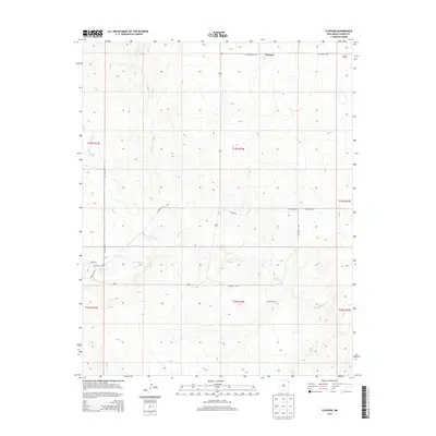
2013 Map of Clapham
USGS Topo · Published 2013About this map
Thomas and Clapham anchor this high plains landscape in eastern New Mexico, a region defined by ranching life and a network of seasonal watercourses. The drainage patterns of Pinabetes Cr and Garcia Cr carve through the terrain, illustrating the hydrologic character of the Great Plains. Settlement is sparse, characterized by established family operations like Sowers Ranch and Holland Ranch, which are connected by a grid of county roads including Co Highway C-042 and Browder Rd. The map provides a clear look at the Public Land Survey System divisions, with the intersections of T23N and T22N across several ranges. This documentation of the northeastern corner of the state reveals the persistent nature of rural land use, where geographic names like Leon Cr and Moscow Cr signify the importance of water to the local ranching economy.
Find a feature on this map
20 named features on this map. Tap any name to fly to it.
Don’t see what you’re looking for? This feature index may not catch every label — zoom into the map to look around manually.
Map Details
Editions of this 2013 Clapham Map
This is the sole edition of this map. No revisions or reprints were ever made.
Other maps of this area

1954 · Dalhart
USGS Topo · 1:250,000

1958 · Dalhart
USGS Topo · 1:250,000

1962 · Dalhart
USGS Topo · 1:250,000

1966 · Skull Mesa
USGS Topo · 1:24,000

1966 · Pedernal Creek
USGS Topo · 1:24,000

1966 · Tate School
USGS Topo · 1:24,000

1966 · Clapham
USGS Topo · 1:24,000

1966 · Car Top Butte
USGS Topo · 1:24,000

1966 · Sand Hill
USGS Topo · 1:24,000

1970 · Stead
USGS Topo · 1:24,000