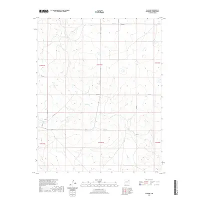
2020 Map of Clapham
USGS Topo · Published 2020About this map
Clapham and Thomas anchor this high plains survey in Union County, where the landscape is defined by a dendritic network of ephemeral drainage systems. The terrain is marked by the winding courses of Pinabetes Cr and Garcia Cr, which cut through the open ranch land typical of this corner of northeastern New Mexico. The map illustrates a sparse settlement pattern connected by a network of county routes, including Co RD c044 and Co RD c045, which follow the section lines of the Public Land Survey System. Local transit is further detailed by named arteries like Browder Rd and Robinett Rd. The hydrology of the area is particularly distinct, showing how Leon Cr and Moscow Cr navigate the subtle elevation changes of the high plateau, providing a essential look at the physical geography that has dictated land use and habitation in this rural region.
Find a feature on this map
20 named features on this map. Tap any name to fly to it.
Don’t see what you’re looking for? This feature index may not catch every label — zoom into the map to look around manually.
Map Details
Editions of this 2020 Clapham Map
This is the sole edition of this map. No revisions or reprints were ever made.
Other maps of this area

1954 · Dalhart
USGS Topo · 1:250,000

1958 · Dalhart
USGS Topo · 1:250,000

1962 · Dalhart
USGS Topo · 1:250,000

1966 · Skull Mesa
USGS Topo · 1:24,000

1966 · Pedernal Creek
USGS Topo · 1:24,000

1966 · Tate School
USGS Topo · 1:24,000

1966 · Clapham
USGS Topo · 1:24,000

1966 · Car Top Butte
USGS Topo · 1:24,000

1966 · Sand Hill
USGS Topo · 1:24,000

1970 · Stead
USGS Topo · 1:24,000