Loading...
Loading map...2023 Map of Clarendon
USGS Topo · Published 2023About this map
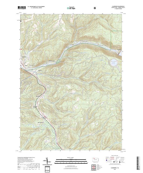
Allegheny National Forest dominates this section of Warren County, where the Allegheny River carves a deep valley through the high plateau. The river corridor is marked by several named islands including Harmon Island and Dixon Island, while the northern bank features the Seneca Pumped Storage Reservoir near Big Bend. The topography is defined by numerous hollows and runs, such as Page Hollow and Hemlock Run, which drain into the river system.
Find a feature on this map
68 named features on this map. Tap any name to fly to it.
Don’t see what you’re looking for? This feature index may not catch every label — zoom into the map to look around manually.
Map Details
Date Portrayed2023
Date Published2023
PublisherU.S. Geological Survey
Map TypeTopographic
Scale1:24000
Physical Dimensions24 x 29 inches
Editions of this 2023 Clarendon Map
This is the sole edition of this map. No revisions or reprints were ever made.
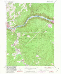
Historical Maps of Stoneham Through Time
Featured Locations
Source Details
SourceU.S. Geological Survey
CopyrightPublic Domain