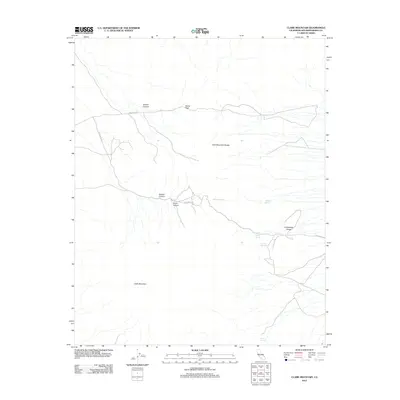
2012 Map of Clark Mountain
USGS Topo · Published 2012About this map
Clark Mountain stands as the centerpiece of this desert terrain in San Bernardino County, where the high-altitude landscape is defined by the sharp relief of the Clark Mountain Range and its dramatic outlets. The topography reveals a network of canyons and passes, including Greens Canyon, Keany Pass, and the deep Colosseum Gorge. These features reflect a geologic complexity that has long challenged travelers and attracted those seeking resources in the arid environment.
Find a feature on this map
14 named features on this map. Tap any name to fly to it.
Don’t see what you’re looking for? This feature index may not catch every label — zoom into the map to look around manually.
Map Details
Editions of this 2012 Clark Mountain Map
This is the sole edition of this map. No revisions or reprints were ever made.
Other maps of this area

1910 · Ivanpah
USGS Topo · 1:250,000

1912 · Ivanpah
USGS Topo · 1:250,000

1942 · Ivanpah
USGS Topo · 1:250,000

1947 · Kingman
USGS Topo · 1:250,000

1948 · Kingman
USGS Topo · 1:250,000

1954 · Kingman
USGS Topo · 1:250,000

1955 · Kingman
USGS Topo · 1:250,000

1955 · Mescal Range
USGS Topo · 1:62,500

1955 · Roach Lake
USGS Topo · 1:62,500

1956 · Ivanpah
USGS Topo · 1:62,500