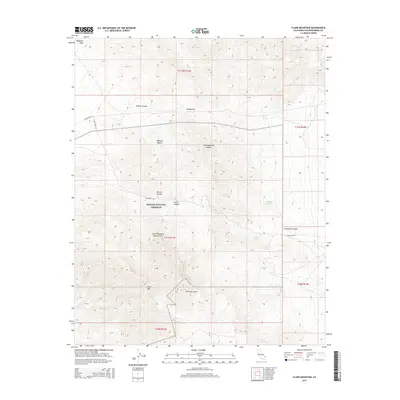
2015 Map of Clark Mountain
USGS Topo · Published 2015About this map
Clark Mtn dominates this high-altitude section of the eastern Mojave, where the steep topography of the Clark Mountain Range meets the vast expanse of the Mojave Desert. This 2015 U.S. Geological Survey representation of the Mojave National Preserve highlights a landscape defined by significant elevation changes and seasonal water sources. Numerous isolated water points, such as Ivanpah Springs, Willow Spring, and Whitfield Spring, suggest the critical importance of localized hydrology for both wildlife and human transit through this arid environment.
Find a feature on this map
25 named features on this map. Tap any name to fly to it.
Don’t see what you’re looking for? This feature index may not catch every label — zoom into the map to look around manually.
Map Details
Editions of this 2015 Clark Mountain Map
This is the sole edition of this map. No revisions or reprints were ever made.
Other maps of this area

1910 · Ivanpah
USGS Topo · 1:250,000

1912 · Ivanpah
USGS Topo · 1:250,000

1942 · Ivanpah
USGS Topo · 1:250,000

1947 · Kingman
USGS Topo · 1:250,000

1948 · Kingman
USGS Topo · 1:250,000

1954 · Kingman
USGS Topo · 1:250,000

1955 · Kingman
USGS Topo · 1:250,000

1955 · Mescal Range
USGS Topo · 1:62,500

1955 · Roach Lake
USGS Topo · 1:62,500

1956 · Ivanpah
USGS Topo · 1:62,500