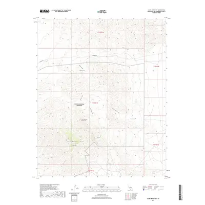
2018 Map of Clark Mountain
USGS Topo · Published 2018About this map
The Clark Mountain Range dominates this portion of the Mojave National Preserve in San Bernardino County. Reaching its highest point at Clark Mtn, the landscape is defined by dramatic elevation changes and geological features such as the Clark Mountain Natural Arch and Colosseum Gorge. This high-desert environment is characterized by a series of critical water sources, including Whiskey Spring, Willow Spring, and Ivanpah Springs, which historically served as vital waypoints in an otherwise arid expanse. The transition from the open Mojave Desert floor into the steep drainages of Curtis Canyon and Kiwisar Canyon illustrates the complex topography of the Eastern Mojave. Utility infrastructure is noted by the presence of Powerline RD, providing a rare straight-line contrast to the winding canyons and ridges that define the wilderness area.
Find a feature on this map
20 named features on this map. Tap any name to fly to it.
Don’t see what you’re looking for? This feature index may not catch every label — zoom into the map to look around manually.
Map Details
Editions of this 2018 Clark Mountain Map
This is the sole edition of this map. No revisions or reprints were ever made.
Other maps of this area

1910 · Ivanpah
USGS Topo · 1:250,000

1912 · Ivanpah
USGS Topo · 1:250,000

1942 · Ivanpah
USGS Topo · 1:250,000

1947 · Kingman
USGS Topo · 1:250,000

1948 · Kingman
USGS Topo · 1:250,000

1954 · Kingman
USGS Topo · 1:250,000

1955 · Kingman
USGS Topo · 1:250,000

1955 · Mescal Range
USGS Topo · 1:62,500

1955 · Roach Lake
USGS Topo · 1:62,500

1956 · Ivanpah
USGS Topo · 1:62,500