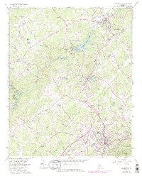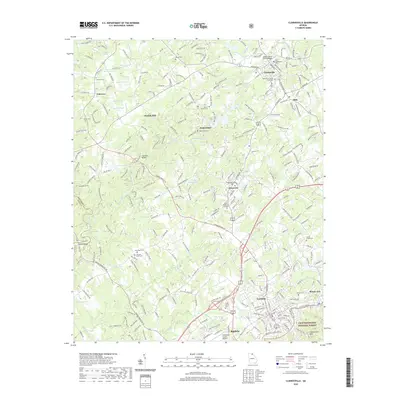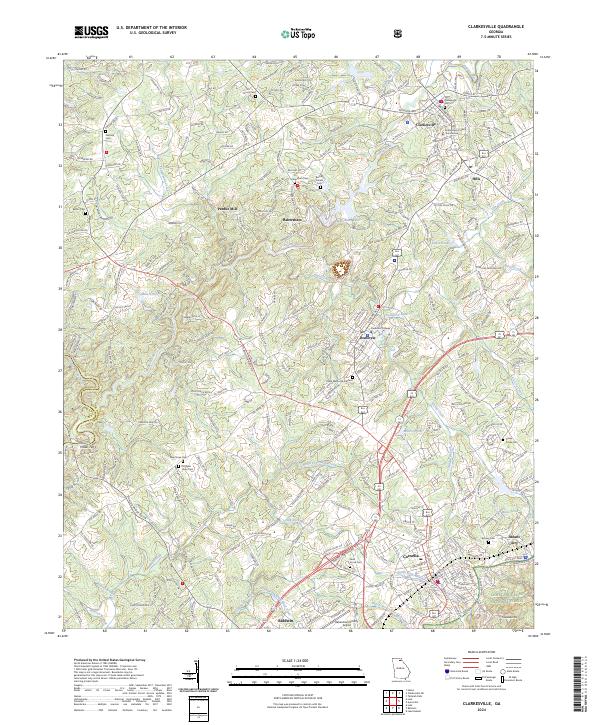
2024 Map of Clarkesville
USGS Topo · Published 2024About this map
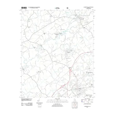
The Soquee River winds through the heart of Habersham County, anchoring a landscape where historic towns like Clarkesville and Cornelia serve as regional hubs. As the county seat, Clarkesville is centered around the Habersham County Courthouse, while the academic presence of Piedmont College defines the neighboring community of Demorest. The area's settlement history is evidenced by numerous burial grounds, including the Old Clarkesville Cem and the more remote Return Cem, alongside family-named landmarks such as Pardue Mill and Heads Ferry on the Chattahoochee River.
Find a feature on this map
260 named features on this map. Tap any name to fly to it.
Don’t see what you’re looking for? This feature index may not catch every label — zoom into the map to look around manually.
Map Details
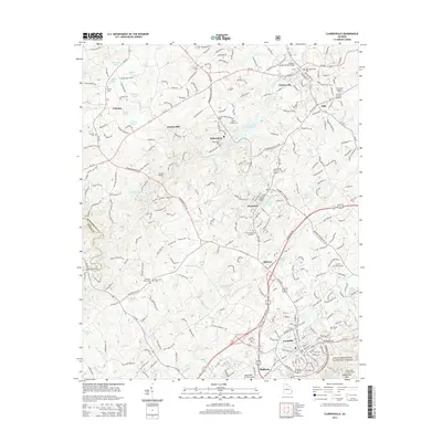
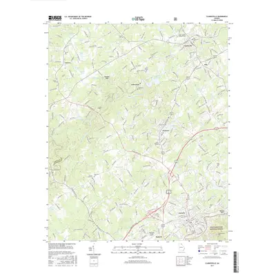
Editions of this 2024 Clarkesville Map
This is the sole edition of this map. No revisions or reprints were ever made.
Historical Maps of Cornelia Through Time
6 maps found