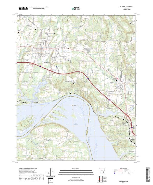
2024 Map of Clarksville
USGS Topo · Published 2024About this map
Clarksville serves as the focal point of this Johnson County region, where the Johnson County Courthouse stands at the center of a grid containing the University of the Ozarks. The landscape transitions from the urbanized streets of the city to the fertile grounds of Cuba Bottom and the expansive waters of Lake Dardanelle to the south. Historically significant sites like Oakland Memorial Cem and Holy Redeemer Cem are preserved alongside modern infrastructure such as the Clarksville Municipal Airport.
Find a feature on this map
151 named features on this map. Tap any name to fly to it.
Don’t see what you’re looking for? This feature index may not catch every label — zoom into the map to look around manually.
Map Details
Editions of this 2024 Clarksville Map
This is the sole edition of this map. No revisions or reprints were ever made.
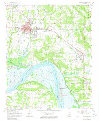
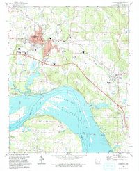
Historical Maps of Tokalon Through Time
3 maps found