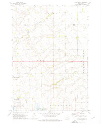
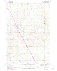
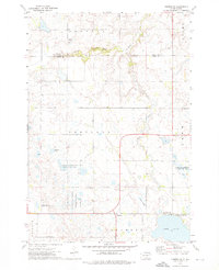
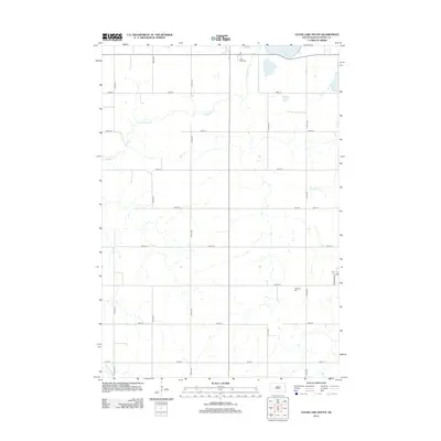
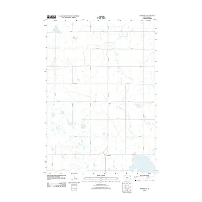
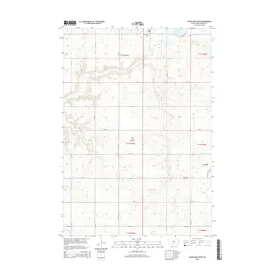
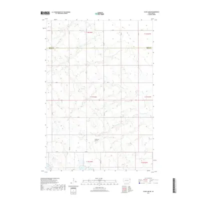
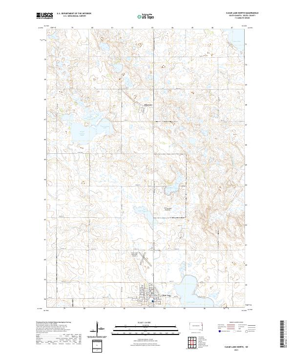
1973 Map of Clear Lake NE
USGS Topo · Published 1976About this map
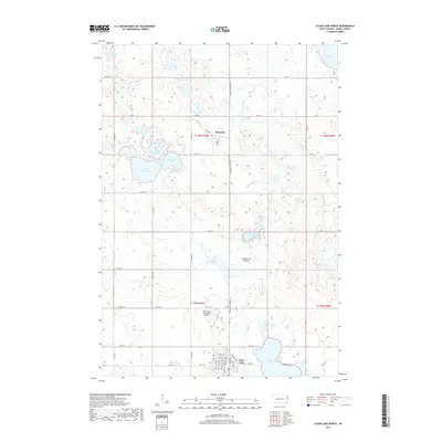
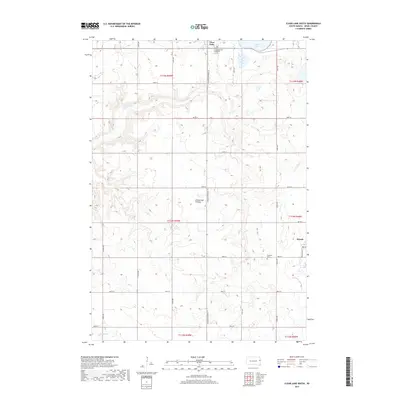
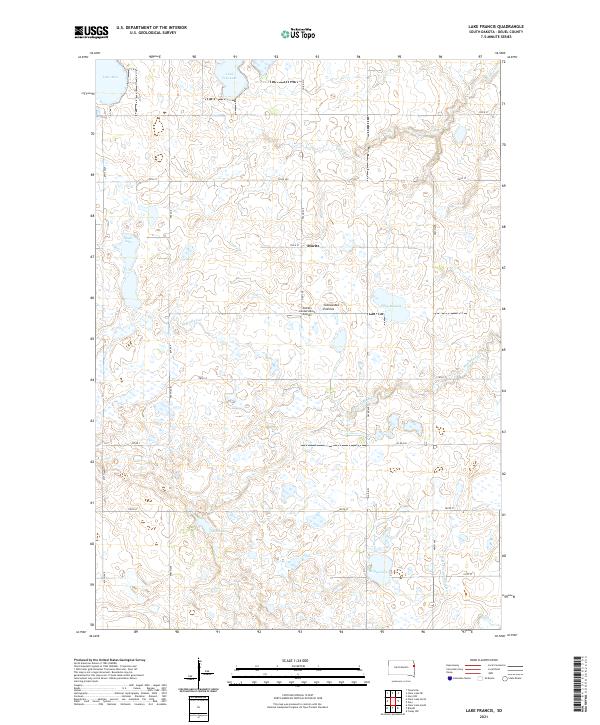
Antelope Valley dominates the eastern portion of this Deuel County landscape, where the prairie is defined by conservation and water management. Large tracts of land are designated as the National Waterfowl Production Area, reflecting the region's importance to migratory birds. In the south, the Mitchell State Public Shooting Area and Lone Tree Lake State Public Shooting Area provide specialized land-use details for researchers interested in mid-century environmental preservation and public lands.
Find a feature on this map
18 named features on this map. Tap any name to fly to it.
Don’t see what you’re looking for? This feature index may not catch every label — zoom into the map to look around manually.
Map Details
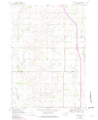
Editions of this 1973 Clear Lake NE Map
This is the sole edition of this map. No revisions or reprints were ever made.
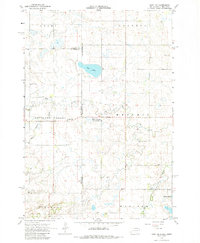
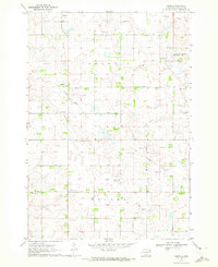
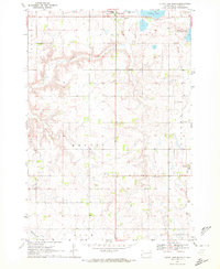
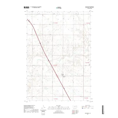
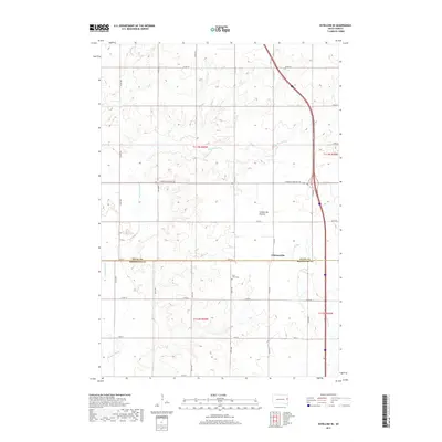
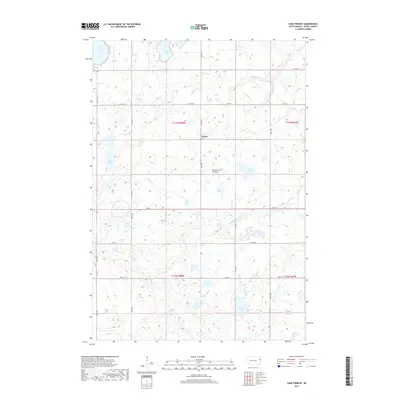
Historical Maps of Glenwood Township Through Time
41 maps found
1967 Gary NW
Deuel County, SD
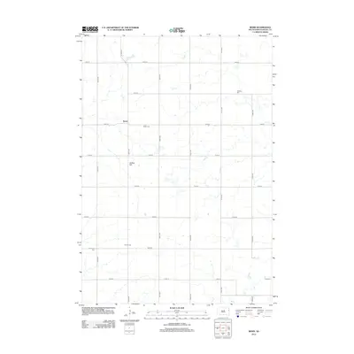
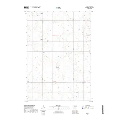
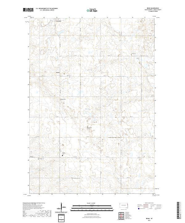
1970 Bemis
Deuel County, SD
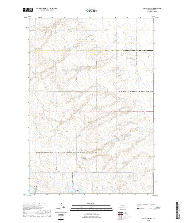
1970 Clear Lake South
Deuel County, SD
1970 Estelline NE
Deuel County, SD
1970 Estelline SE
Deuel County, SD
1973 Clear Lake NE
Deuel County, SD
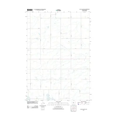
1973 Clear Lake North
Deuel County, SD
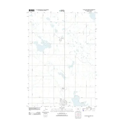
1973 Lake Francis
Deuel County, SD
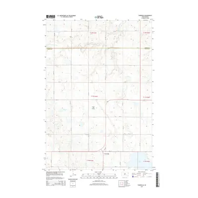
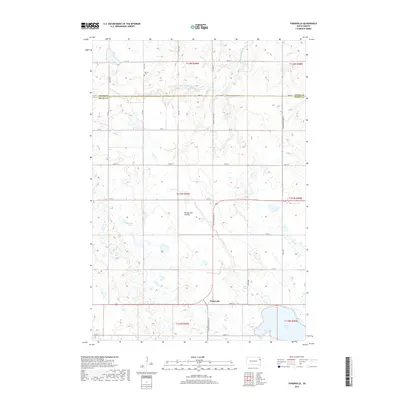
1973 Tunerville
Deuel County, SD
2012 Bemis
Deuel County, SD
2012 Clear Lake NE
Deuel County, SD
2012 Clear Lake North
Deuel County, SD
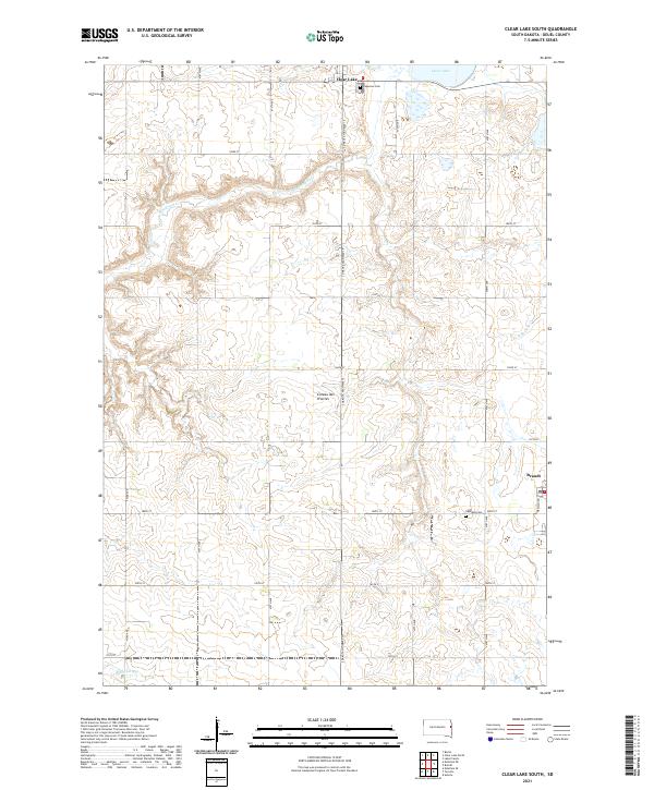
2012 Clear Lake South
Deuel County, SD
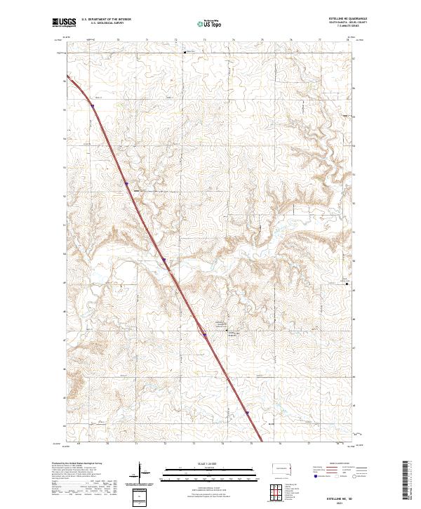
2012 Estelline NE
Deuel County, SD
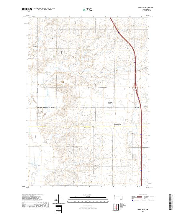
2012 Estelline SE
Deuel County, SD
2012 Lake Francis
Deuel County, SD
2012 Tunerville
Deuel County, SD
2015 Bemis
Deuel County, SD
2015 Clear Lake NE
Deuel County, SD
2015 Clear Lake North
Deuel County, SD
2015 Clear Lake South
Deuel County, SD
2015 Estelline NE
Deuel County, SD
2015 Estelline SE
Deuel County, SD
2015 Lake Francis
Deuel County, SD
2015 Tunerville
Deuel County, SD
2017 Bemis
Deuel County, SD
2017 Clear Lake NE
Deuel County, SD
2017 Clear Lake North
Deuel County, SD
2017 Clear Lake South
Deuel County, SD
2017 Estelline NE
Deuel County, SD
2017 Estelline SE
Deuel County, SD
2017 Lake Francis
Deuel County, SD
2017 Tunerville
Deuel County, SD
2021 Bemis
Deuel County, SD
2021 Clear Lake NE
Deuel County, SD
2021 Clear Lake North
Deuel County, SD
2021 Clear Lake South
Deuel County, SD
2021 Estelline NE
Deuel County, SD
2021 Estelline SE
Deuel County, SD
2021 Lake Francis
Deuel County, SD
2021 Tunerville
Deuel County, SD
Featured Locations
- Deuel County, SD
- Altamont Township, SD
- Antelope Valley Township, SD
- Glenwood Township, SD
- Lowe Township, SD