Loading...
Loading map...2024 Map of Clermont
USGS Topo · Published 2024About this map
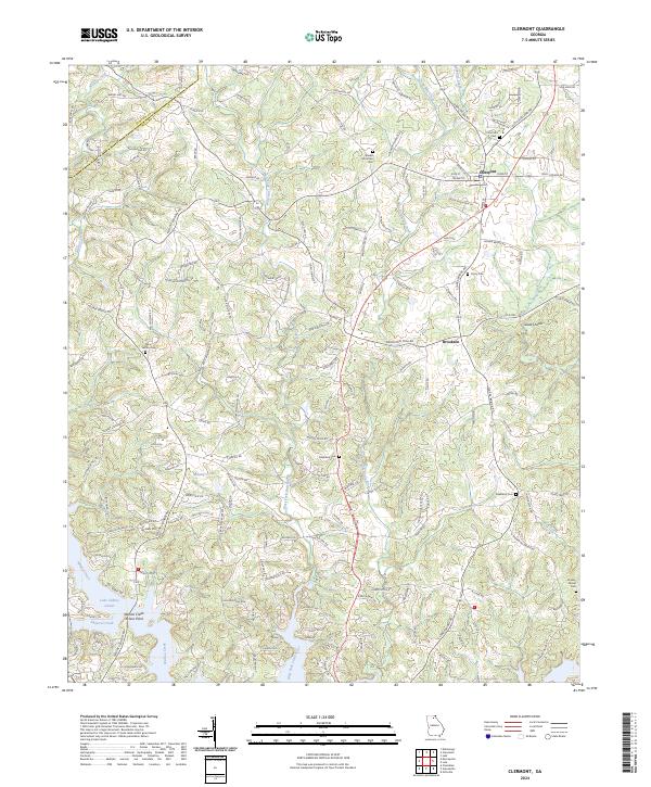
Clermont and the nearby community of Brookton anchor this survey of the northeast Georgia uplands. The landscape is defined by the headwaters of several critical water systems, including the West Fork Little River and East Fork Little River, which flow south toward the expansive Lake Sidney Lanier. This contemporary topographic study reveals a terrain of dense family-named roads and rural infrastructure, from Glade Shoals to the slopes of Buckhorn Mtn.
Find a feature on this map
162 named features on this map. Tap any name to fly to it.
Don’t see what you’re looking for? This feature index may not catch every label — zoom into the map to look around manually.
Map Details
Date Portrayed2024
Date Published2024
PublisherU.S. Geological Survey
Map TypeTopographic
Scale1:24000
Physical Dimensions24 x 29 inches
Editions of this 2024 Clermont Map
This is the sole edition of this map. No revisions or reprints were ever made.
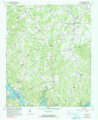
Historical Maps of McCrary Through Time
Featured Locations
Source Details
SourceU.S. Geological Survey
CopyrightPublic Domain