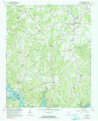
1964 Map of Clermont
USGS Topo · Published 1990About this map
Clermont and the crossroads at Brookton anchor this mid-century look at the rolling terrain where the Lumpkin and Hall county lines meet. The landscape is defined by the headwaters of the Little River, where its West Fork and East Fork converge before flowing into the northern reaches of Lake Sidney Lanier. This era shows a community rooted in local institutions, evidenced by the high concentration of rural sanctuaries like Bethel Ch, Dewberry Ch No 2, and Full Gospel Tabernacle.
Find a feature on this map
34 named features on this map. Tap any name to fly to it.
Don’t see what you’re looking for? This feature index may not catch every label — zoom into the map to look around manually.
Map Details
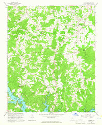
Editions of this 1964 Clermont Map
2 editions found
Other maps of this area

1886 · Dahlonega
USGS Topo · 1:125,000

1891 · Gainesville
USGS Topo · 1:125,000

1892 · Dahlonega
USGS Topo · 1:125,000

1896 · Dahlonega
USGS Topo · 1:125,000

1903 · Dahlonega
USGS Topo · 1:125,000

1951 · Cleveland
USGS Topo · 1:24,000
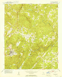
1951 · Dahlonega
USGS Topo · 1:24,000

1954 · Greenville
USGS Topo · 1:250,000

1958 · Greenville
USGS Topo · 1:250,000

1964 · Murrayville
USGS Topo · 1:24,000