
1964 Map of Murrayville
USGS Topo · Published 1965About this map
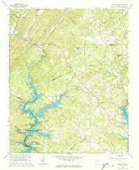
The Chestatee River dominates this mid-century survey, its winding channel partially submerged by the fingers of Lake Sidney Lanier. This era reveals a landscape transitioning from rural agrarian roots to one defined by the reservoir's recreation and shoreline development, evidenced by the Lumpkin Co Park and the Woodmen of the World Youth Camp. Local history seekers will find remnants of Georgia's gold rush era at the Calhoun Gold Mine in the northwest, situated near Cane Cr.
Find a feature on this map
36 named features on this map. Tap any name to fly to it.
Don’t see what you’re looking for? This feature index may not catch every label — zoom into the map to look around manually.
Map Details
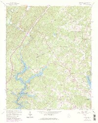
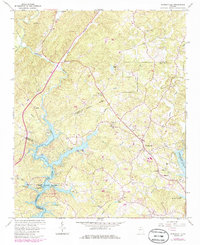
Editions of this 1964 Murrayville Map
4 editions found
Other maps of this area

1886 · Dahlonega
USGS Topo · 1:125,000

1888 · Ellijay
USGS Topo · 1:125,000

1890 · Suwanee
USGS Topo · 1:125,000

1891 · Gainesville
USGS Topo · 1:125,000

1892 · Dahlonega
USGS Topo · 1:125,000

1892 · Ellijay
USGS Topo · 1:125,000

1894 · Suwanee
USGS Topo · 1:125,000

1896 · Dahlonega
USGS Topo · 1:125,000

1898 · Ellijay
USGS Topo · 1:125,000

1903 · Dahlonega
USGS Topo · 1:125,000