
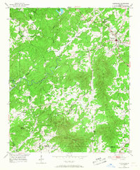
1951 Map of Cleveland
USGS Topo · Published 1952About this map
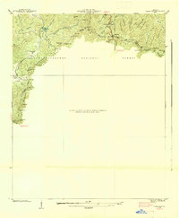
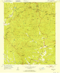
Cleveland serves as the focal point of this North Georgia survey, situated at the junction of developing roads and surrounded by a landscape defined by sharp ridges and winding waterways. The topography is dominated by Long Mountain, Piney Mountain, and Walker Mountain, which separate the various creek drainage basins that feed into the Chestatee River. This mid-century view reveals a dispersed rural pattern of life, with numerous community landmarks scattered along the valley floors and foothills.
Find a feature on this map
30 named features on this map. Tap any name to fly to it.
Don’t see what you’re looking for? This feature index may not catch every label — zoom into the map to look around manually.
Map Details
Editions of this 1951 Cleveland Map
4 editions found
Other maps of this area

1886 · Dahlonega
USGS Topo · 1:125,000

1891 · Gainesville
USGS Topo · 1:125,000

1892 · Dahlonega
USGS Topo · 1:125,000

1896 · Dahlonega
USGS Topo · 1:125,000

1903 · Dahlonega
USGS Topo · 1:125,000

1935 · Cowrock
USGS Topo · 1:24,000
1935 · Neels Gap
USGS Topo · 1:24,000

1938 · Cowrock
USGS Topo · 1:24,000
1938 · Neels Gap
USGS Topo · 1:24,000
1950 · Neels Gap
USGS Topo · 1:24,000