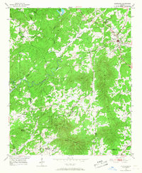
1951 Map of Cleveland
USGS Topo · Published 1968About this map
Cleveland serves as the primary hub in this Georgia landscape, situated at the junction of routes leading through the foothills of the Blue Ridge. The 1951 field check reveals a community-oriented geography defined by small country churches and schools, such as Town Creek Ch, Grace Sch, and Friendship Ch. The terrain is dominated by the massive ridge of Long Mountain, which separates the drainages of Tesnatee Creek and Mossy Creek. Along the southern border, the Chestatee River and Little River wind through the valleys of Walker Mountain and Piney Mountain. This survey provides a precise record of the local infrastructure before modern development, marking the boundary lines between Lumpkin, White, and Hall counties, where County Line Ch stands as a landmark of local organization.
Find a feature on this map
30 named features on this map. Tap any name to fly to it.
Don’t see what you’re looking for? This feature index may not catch every label — zoom into the map to look around manually.
Map Details
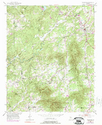
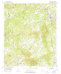
Editions of this 1951 Cleveland Map
4 editions found

Other maps of this area

1886 · Dahlonega
USGS Topo · 1:125,000

1891 · Gainesville
USGS Topo · 1:125,000

1892 · Dahlonega
USGS Topo · 1:125,000

1896 · Dahlonega
USGS Topo · 1:125,000

1903 · Dahlonega
USGS Topo · 1:125,000

1935 · Cowrock
USGS Topo · 1:24,000
1935 · Neels Gap
USGS Topo · 1:24,000

1938 · Cowrock
USGS Topo · 1:24,000
1938 · Neels Gap
USGS Topo · 1:24,000
1950 · Neels Gap
USGS Topo · 1:24,000