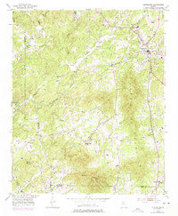
1951 Map of Cleveland
USGS Topo · Published 1975About this map
Cleveland serves as the focal point of this North Georgia survey, situated at the base of the prominent Long Mountain. The landscape is defined by the winding course of the Chestatee River and Tesnatee Creek, which drain a region of dense ridges and narrow valleys. A strong sense of rural community is evident through a network of local institutions, including Town Creek Ch, Mt View Ch, and Friendship Ch.
Find a feature on this map
32 named features on this map. Tap any name to fly to it.
Don’t see what you’re looking for? This feature index may not catch every label — zoom into the map to look around manually.
Map Details
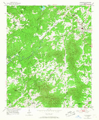
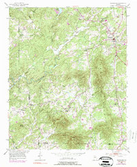
Editions of this 1951 Cleveland Map
4 editions found

Other maps of this area

1886 · Dahlonega
USGS Topo · 1:125,000

1891 · Gainesville
USGS Topo · 1:125,000

1892 · Dahlonega
USGS Topo · 1:125,000

1896 · Dahlonega
USGS Topo · 1:125,000

1903 · Dahlonega
USGS Topo · 1:125,000

1935 · Cowrock
USGS Topo · 1:24,000
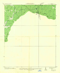
1935 · Neels Gap
USGS Topo · 1:24,000

1938 · Cowrock
USGS Topo · 1:24,000
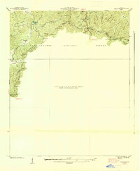
1938 · Neels Gap
USGS Topo · 1:24,000
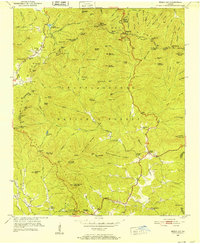
1950 · Neels Gap
USGS Topo · 1:24,000