2024 Map of Clifton
USGS Topo · Published 2024About this map
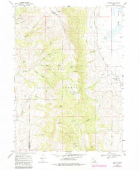
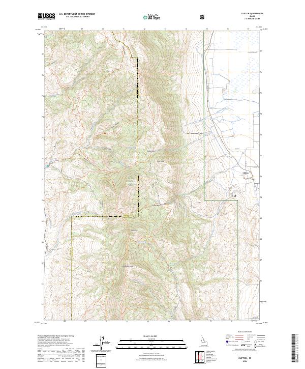
Clifton is the primary settlement on this map, situated at the eastern base of the Malad Range. The landscape is defined by the high ridges of the Caribou National Forest, where peaks like Old Baldy Peak, Weston Peak, and Buck Peak create a steep vertical backdrop for the valley below. To the northeast, the terrain levels out into the Oxford Slough Waterfowl Production Area, a vital wetland habitat fed by Oxford Slough. This modern survey details a complex network of backcountry access, including the Clifton Creek Trl and Mine Hollow Trl, which connect the lowland farming community to high basins like Clifton Basin and Davis Basin. The Clifton Cem and the local Po serve as central landmarks for the town, while the Oneida and Franklin county line traverses the high mountain crests between the drainage of Deep Creek and the valley floor.
Find a feature on this map
53 named features on this map. Tap any name to fly to it.
Don’t see what you’re looking for? This feature index may not catch every label — zoom into the map to look around manually.
Map Details
Editions of this 2024 Clifton Map
This is the sole edition of this map. No revisions or reprints were ever made.