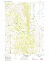
1968 Map of Clifton
USGS Topo · Published 1984About this map
Oxford Ridge dominates the center of this landscape, creating a high-elevation divide within the Caribou National Forest. Along the eastern slopes, the settlement of Clifton serves as a small agricultural and residential hub, characterized by an Aqueduct and its proximity to the marshes of Oxford and Slough. This 1960s survey, with early 1980s updates, details the complex system of mountain drainages such as Weston Creek and Michael Creek that descend from peaks like Weston Peak and Old Baldy Peak. The map highlights the economic and natural resource history of Franklin and Oneida counties, including a Mine in Mine Hollow and a Gravel Pit near the southern boundary. Steep terrain is navigated by a network of Trails and Jeep Trails, linking high-mountain locations like Clifton Basin and Davis Basin to the lower valley floor and its distinctive Alkali Flat.
Find a feature on this map
38 named features on this map. Tap any name to fly to it.
Don’t see what you’re looking for? This feature index may not catch every label — zoom into the map to look around manually.
Map Details
Editions of this 1968 Clifton Map

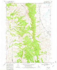
Other maps of this area

1915 · Preston
USGS Topo · 1:96,000

1918 · Preston
USGS Topo · 1:125,000

1954 · Pocatello
USGS Topo · 1:250,000

1955 · Preston
USGS Topo · 1:250,000

1958 · Pocatello
USGS Topo · 1:250,000

1958 · Preston
USGS Topo · 1:250,000

1962 · Preston
USGS Topo · 1:250,000

1968 · Malad Summit
USGS Topo · 1:24,000

1968 · Oxford
USGS Topo · 1:24,000

1968 · Malad City East
USGS Topo · 1:24,000