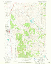
1968 Map of Malad City East
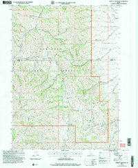
USGS Topo · Published 1971This historical map portrays the area of Malad City East in 1968, primarily covering Oneida County. Featuring a scale of 1:24000, this map provides a highly detailed snapshot of the terrain, roads, buildings, counties, and historical landmarks in the Malad City East region at the time. Published in 1971, it is one of 2 known editions of this map due to revisions or reprints.
Map Details
Editions of this 1968 Malad City East Map
2 editions found
Historical Maps of Oneida County Through Time
24 maps found
1963 Daniels
Oneida County, ID
1968 Dairy Creek
Oneida County, ID
1968 Daniels
Oneida County, ID
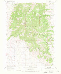
1968 Elkhorn Peak
Oneida County, ID
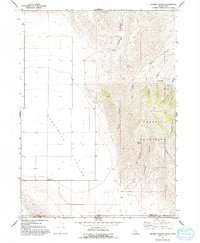
1968 Grover Canyon
Oneida County, ID
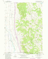
1968 Henderson Creek
Oneida County, ID
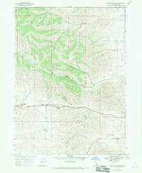
1968 Ireland Springs
Oneida County, ID
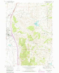
1968 Malad City East
Oneida County, ID
1968 Malad City West
Oneida County, ID
1968 Malad Summit
Oneida County, ID
1968 Samaria
Oneida County, ID
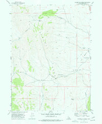
1973 Badger Hole Spring
Oneida County, ID
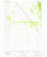
1973 Black Pine
Oneida County, ID
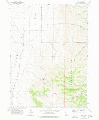
1973 Buist
Oneida County, ID
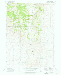
1973 Cedarhill
Oneida County, ID
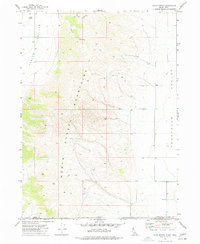
1973 Co-op Spring
Oneida County, ID
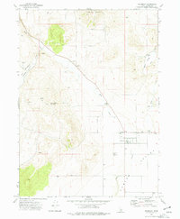
1973 Holbrook
Oneida County, ID
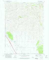
1973 Juniper
Oneida County, ID
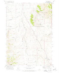
1973 Roy
Oneida County, ID
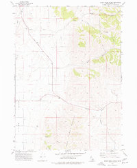
1973 Sheep Creek Spring
Oneida County, ID
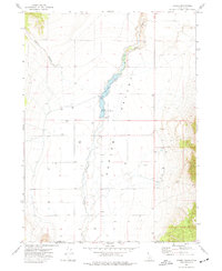
1973 Stone
Oneida County, ID
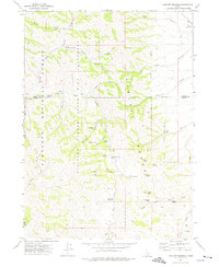
1973 Sublett Troughs
Oneida County, ID
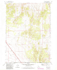
1973 The Cove
Oneida County, ID
2001 Sublett Troughs
Oneida County, ID