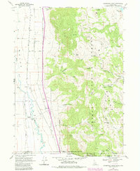
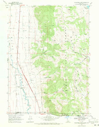
1968 Map of Henderson Creek
USGS Topo · Published 1984About this map
The Union Pacific rail line and the waters of the Malad River define this Idaho-Utah borderlands landscape, where the agricultural valley meets the high elevations of the Caribou National Forest. Settlement is concentrated near Woodruff, featuring a dedicated Woodruff (Siding) and the Malad Canal system which supported the local ranching economy. An intriguing social landmark, the Jenkins Hollow Race Track, sits tucked into the eastern foothills, suggesting a legacy of local recreation alongside traditional land uses like the Sheep Dip at the southern boundary.
Find a feature on this map
48 named features on this map. Tap any name to fly to it.
Don’t see what you’re looking for? This feature index may not catch every label — zoom into the map to look around manually.
Map Details
Editions of this 1968 Henderson Creek Map
2 editions found
Other maps of this area

1954 · Pocatello
USGS Topo · 1:250,000

1954 · Brigham City
USGS Topo · 1:250,000

1958 · Pocatello
USGS Topo · 1:250,000

1958 · Brigham City
USGS Topo · 1:250,000

1962 · Brigham City
USGS Topo · 1:250,000
1964 · Clarkston
USGS Topo · 1:24,000
1964 · Portage
USGS Topo · 1:24,000

1968 · Samaria
USGS Topo · 1:24,000

1968 · Malad City West
USGS Topo · 1:24,000

1968 · Malad City East
USGS Topo · 1:24,000