
1954 Map of Brigham City
USGS Topo · Published 1968About this map
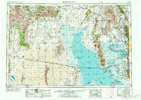
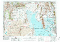
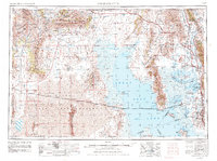
Brigham City serves as the focal point of this mid-century survey, situated at the eastern edge of the expansive Great Salt Lake. The map details the complex rail infrastructure of the era, including the Southern Pacific line crossing the lake's northern reaches and a dismantled railroad segment tracing the path of the original transcontinental route. Historic landmarks such as the Golden Spike Monument at Promontory and the Salt plant (abandoned) near Spring Bay highlight the industrial and commemorative history of the region.
Find a feature on this map
181 named features on this map. Tap any name to fly to it.
Don’t see what you’re looking for? This feature index may not catch every label — zoom into the map to look around manually.
Map Details
Editions of this 1954 Brigham City Map
4 editions found
Other maps of this area

1885 · Salt Lake
USGS Topo · 1:250,000

1885 · Tooele Valley
USGS Topo · 1:250,000

1914 · Logan
USGS Topo · 1:125,000

1915 · Preston
USGS Topo · 1:96,000

1916 · Logan
USGS Topo · 1:125,000

1918 · Preston
USGS Topo · 1:125,000

1925 · Ft. Douglas
USGS Topo · 1:125,000

1928 · Ft. Douglas
USGS Topo · 1:125,000

1952 · Saltair NE
USGS Topo · 1:24,000

1952 · Farmington
USGS Topo · 1:24,000