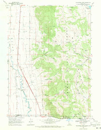
1968 Map of Henderson Creek
USGS Topo · Published 1971About this map
The Malad Range dominates this landscape along the Idaho and Utah border, where the steep canyons of the Cache National Forest and Caribou National Forest meet the agricultural flats of the Malad River valley. The settlement of Woodruff sits at the base of the mountains, served by the Union Pacific railroad at Woodruff (Siding). This survey captures the complex water rights and land management of the era, marking numerous water sources like Picnic Spring, Willow Spring, and the Weston Creek Reservoir.
Find a feature on this map
46 named features on this map. Tap any name to fly to it.
Don’t see what you’re looking for? This feature index may not catch every label — zoom into the map to look around manually.
Map Details
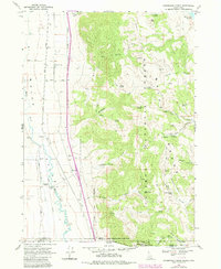
Editions of this 1968 Henderson Creek Map
2 editions found
Other maps of this area

1954 · Pocatello
USGS Topo · 1:250,000

1954 · Brigham City
USGS Topo · 1:250,000

1958 · Pocatello
USGS Topo · 1:250,000

1958 · Brigham City
USGS Topo · 1:250,000

1962 · Brigham City
USGS Topo · 1:250,000
1964 · Clarkston
USGS Topo · 1:24,000
1964 · Portage
USGS Topo · 1:24,000

1968 · Samaria
USGS Topo · 1:24,000

1968 · Malad City West
USGS Topo · 1:24,000

1968 · Malad City East
USGS Topo · 1:24,000