
1973 Map of Juniper
USGS Topo · Published 1976About this map
The Sublett Range dominates the northern horizon of this 1973 field-checked survey, providing a backdrop for the small settlement of Juniper. Located near the border of Cassia and Oneida County, the landscape is defined by the transition from the high peaks of Saddle Horse Basin to the flatter expanses of Juniper Valley. Infrastructure of the early 1970s is well-documented, featuring a Radio Facility, Storage Bins, and a dedicated Landing Strip servicing this rural pocket of Idaho.
Find a feature on this map
19 named features on this map. Tap any name to fly to it.
Don’t see what you’re looking for? This feature index may not catch every label — zoom into the map to look around manually.
Map Details
Editions of this 1973 Juniper Map
This is the sole edition of this map. No revisions or reprints were ever made.
Other maps of this area

1954 · Pocatello
USGS Topo · 1:250,000

1958 · Pocatello
USGS Topo · 1:250,000

1958 · Sublett
USGS Topo · 1:62,500

1959 · Strevell
USGS Topo · 1:62,500

1973 · The Cove
USGS Topo · 1:24,000

1973 · Sublett Troughs
USGS Topo · 1:24,000
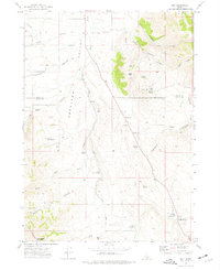
1973 · Roy
USGS Topo · 1:24,000

1973 · Black Pine
USGS Topo · 1:24,000
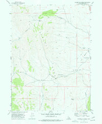
1973 · Badger Hole Spring
USGS Topo · 1:24,000
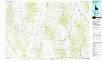
1984 · Malad City
USGS Topo · 1:100,000