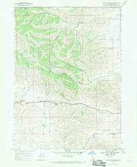
1968 Map of Ireland Springs
USGS Topo · Published 1971About this map
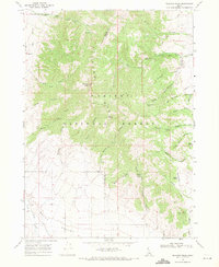
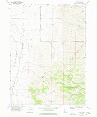
Holbrook Summit serves as a central geographical marker in this high-altitude portion of Oneida County during the late 1960s. The landscape is defined by its series of deep drainage systems, including Stump Canyon, John Evans Canyon, and Wood Canyon, which descend toward the eastern Malad Valley. These features illustrate the complex topography that early ranchers and surveyors navigated in Southern Idaho.
Find a feature on this map
26 named features on this map. Tap any name to fly to it.
Don’t see what you’re looking for? This feature index may not catch every label — zoom into the map to look around manually.
Map Details
Editions of this 1968 Ireland Springs Map
This is the sole edition of this map. No revisions or reprints were ever made.
Other maps of this area

1954 · Pocatello
USGS Topo · 1:250,000

1958 · Pocatello
USGS Topo · 1:250,000
1963 · Daniels
USGS Topo · 1:24,000
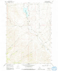
1968 · Grover Canyon
USGS Topo · 1:24,000
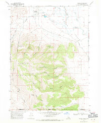
1968 · Samaria
USGS Topo · 1:24,000
1968 · Daniels
USGS Topo · 1:24,000
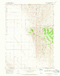
1968 · Malad City West
USGS Topo · 1:24,000
1968 · Elkhorn Peak
USGS Topo · 1:24,000
1973 · Sheep Creek Spring
USGS Topo · 1:24,000
1973 · Buist
USGS Topo · 1:24,000