
1968 Map of Grover Canyon
USGS Topo · Published 1971About this map
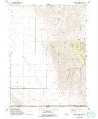
Pocatello Valley dominates the western half of this Idaho-Utah borderlands survey, providing a broad, flat expanse that contrasts sharply with the high elevations of the Samaria Mountains to the east. The settlement of Ridgedale is situated along the valley floor, while the rugged mountain terrain is carved by a complex network of drainages including Samaria Canyon, Mine Canyon, and Elevator Canyon.
Find a feature on this map
19 named features on this map. Tap any name to fly to it.
Don’t see what you’re looking for? This feature index may not catch every label — zoom into the map to look around manually.
Map Details
Editions of this 1968 Grover Canyon Map
2 editions found
Other maps of this area

1954 · Pocatello
USGS Topo · 1:250,000

1954 · Brigham City
USGS Topo · 1:250,000

1958 · Pocatello
USGS Topo · 1:250,000

1958 · Brigham City
USGS Topo · 1:250,000

1962 · Brigham City
USGS Topo · 1:250,000

1968 · Ireland Springs
USGS Topo · 1:24,000

1968 · Samaria
USGS Topo · 1:24,000

1968 · Malad City West
USGS Topo · 1:24,000
1968 · Limekiln Knoll
USGS Topo · 1:24,000

1968 · Ridgedale Pass
USGS Topo · 1:24,000