1971 Map of Coahoma
USGS Topo · Published 1974About this map
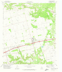
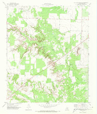
Coahoma stands as the central hub of this West Texas landscape, positioned along the busy corridor of the Texas and Pacific railroad and U.S. Highway 80. The town’s social and educational structure in the early 1970s is clearly defined, with the High Sch, Jr High Sch, and a local Rodeo Ground serving as community anchors. Beyond the town limits, the landscape transitions into a mix of petroleum activity and cattle country, marked by numerous oil wells and gravel pits that drive the local economy.
Find a feature on this map
27 named features on this map. Tap any name to fly to it.
Don’t see what you’re looking for? This feature index may not catch every label — zoom into the map to look around manually.
Map Details
Editions of this 1971 Coahoma Map
This is the sole edition of this map. No revisions or reprints were ever made.
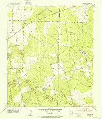
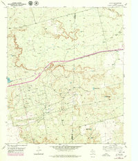
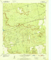
Other maps of this area

1941 · Big Spring South
USGS Topo · 1:62,500

1942 · Big Spring South
USGS Topo · 1:62,500

1942 · Big Spring North
USGS Topo · 1:62,500
1951 · Vincent
USGS Topo · 1:24,000
1951 · Iatan
USGS Topo · 1:24,000
1952 · Iatan
USGS Topo · 1:24,000

1954 · Big Spring
USGS Topo · 1:250,000

1954 · Big Spring North
USGS Topo · 1:24,000
1954 · Big Spring North NE
USGS Topo · 1:24,000

1958 · Big Spring
USGS Topo · 1:250,000