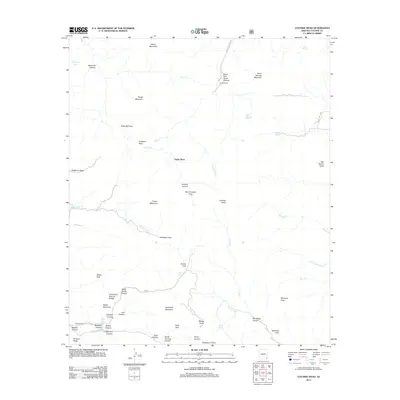
2012 Map of Cochise Head
USGS Topo · Published 2012About this map
Faraway Ranch and Alreds Ranch represent the enduring ranching presence in this corner of Cochise County, where high desert elevations meet steep mountain terrain. The landscape is defined by its dramatic geological formations, notably the Chiricahua Natural Bridge and the prominent summit of Cochise Head. A complex network of drainage systems, including Cottonwood Cr and W Whitetail Cr, carves through deep canyons like Rhyolite Canyon and Madrone Canyon, creating a topography that dictated early travel routes.
Find a feature on this map
59 named features on this map. Tap any name to fly to it.
Don’t see what you’re looking for? This feature index may not catch every label — zoom into the map to look around manually.
Map Details
Editions of this 2012 Cochise Head Map
This is the sole edition of this map. No revisions or reprints were ever made.
Other maps of this area

1917 · San Simon
USGS Topo · 1:125,000

1917 · Chiricahua
USGS Topo · 1:125,000

1919 · Chiricahua
USGS Topo · 1:125,000

1926 · Cochise Head
USGS Topo · 1:62,500

1926 · Rodeo
USGS Topo · 1:62,500

1926 · Rucker
USGS Topo · 1:62,500

1928 · Chenoweth
USGS Topo · 1:62,500

1950 · Cochise Head
USGS Topo · 1:62,500

1950 · Vanar
USGS Topo · 1:62,500

1951 · Vanar
USGS Topo · 1:62,500