2023 Map of Cochranton
USGS Topo · Published 2023About this map
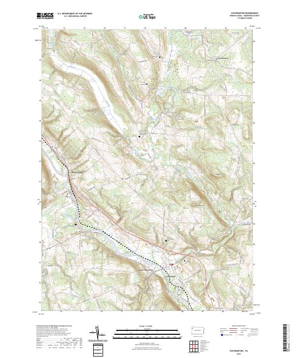
Cochranton serves as the focal point of this Crawford County landscape, where the waters of French Creek flow through a valley shaped by agricultural history and small crossroads settlements. The map documents several established communities, including Frenchtown, Shaws Corners, and Kantz Corners, each linked by a network of rural routes like the Franklin Pike. Genealogists will find an exceptional density of burial sites preserved here, ranging from the Saint Hippolyte Church Cem and Saint Peter and Paul Roman Catholic Cem to smaller family landmarks like the Smith Rockafellow Cem and Kiser Hill Cem. Beyond the floodplains, the terrain rises toward Pine Knoll and Round Knob, while recreational corridors like the French Creek Water Trl follow the meandering river path past the Conneaut Outlet.
Find a feature on this map
85 named features on this map. Tap any name to fly to it.
Don’t see what you’re looking for? This feature index may not catch every label — zoom into the map to look around manually.
Map Details
Editions of this 2023 Cochranton Map
This is the sole edition of this map. No revisions or reprints were ever made.
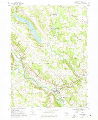
Historical Maps of Fairfield Township Through Time
Featured Locations
- Cochranton, PA
- Randolph Township, PA
- East Fairfield Township, PA
- Fairfield Township, PA
- West Mead Township, PA