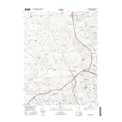
2016 Map of Cockeysville
USGS Topo · Published 2016About this map
Worthington Valley and the surrounding Baltimore County landscape show a sophisticated transition from rural estates to suburban centers in this 2016 record. The northern reaches maintain an open character near Oregon and Shawan, while the central corridor is defined by the Light Rail and the bustling commercial hubs of Lutherville and Timonium. Local institutions are well-represented, including the Stevenson Univ - Greenspring Campus and the Hunt Valley Campus of CCBC.
Find a feature on this map
297 named features on this map. Tap any name to fly to it.
Don’t see what you’re looking for? This feature index may not catch every label — zoom into the map to look around manually.
Map Details
Editions of this 2016 Cockeysville Map
This is the sole edition of this map. No revisions or reprints were ever made.
Other maps of this area

1892 · Ellicott
USGS Topo · 1:62,500

1894 · Ellicott
USGS Topo · 1:62,500

1894 · Baltimore
USGS Topo · 1:62,500

1899 · Baltimore
USGS Topo · 1:62,500

1900 · Parkton
USGS Topo · 1:62,500

1902 · Parkton
USGS Topo · 1:62,500

1904 · Baltimore
USGS Topo · 1:62,500

1905 · Westminster
USGS Topo · 1:62,500

1906 · Ellicott
USGS Topo · 1:62,500

1908 · Patapsco
USGS Topo · 1:125,000