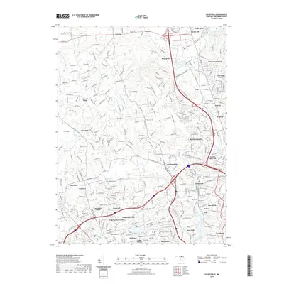
2019 Map of Cockeysville
USGS Topo · Published 2019About this map
Cockeysville and its surrounding northern Baltimore County suburbs are defined by a complex network of stream valleys and residential growth. The landscape is deeply carved by the Jones Falls and its tributaries, including Dipping Pond Run and Slaughterhouse Br, which weave through established communities like Riderwood and Brooklandville. This modern survey illustrates the dense suburban infill typical of the early 21st century, where large estates and historic pockets like Greentop Manor meet contemporary developments near Hunt Valley.
Find a feature on this map
302 named features on this map. Tap any name to fly to it.
Don’t see what you’re looking for? This feature index may not catch every label — zoom into the map to look around manually.
Map Details
Editions of this 2019 Cockeysville Map
This is the sole edition of this map. No revisions or reprints were ever made.
Other maps of this area

1892 · Ellicott
USGS Topo · 1:62,500

1894 · Ellicott
USGS Topo · 1:62,500

1894 · Baltimore
USGS Topo · 1:62,500

1899 · Baltimore
USGS Topo · 1:62,500

1900 · Parkton
USGS Topo · 1:62,500

1902 · Parkton
USGS Topo · 1:62,500

1904 · Baltimore
USGS Topo · 1:62,500

1905 · Westminster
USGS Topo · 1:62,500

1906 · Ellicott
USGS Topo · 1:62,500

1908 · Patapsco
USGS Topo · 1:125,000