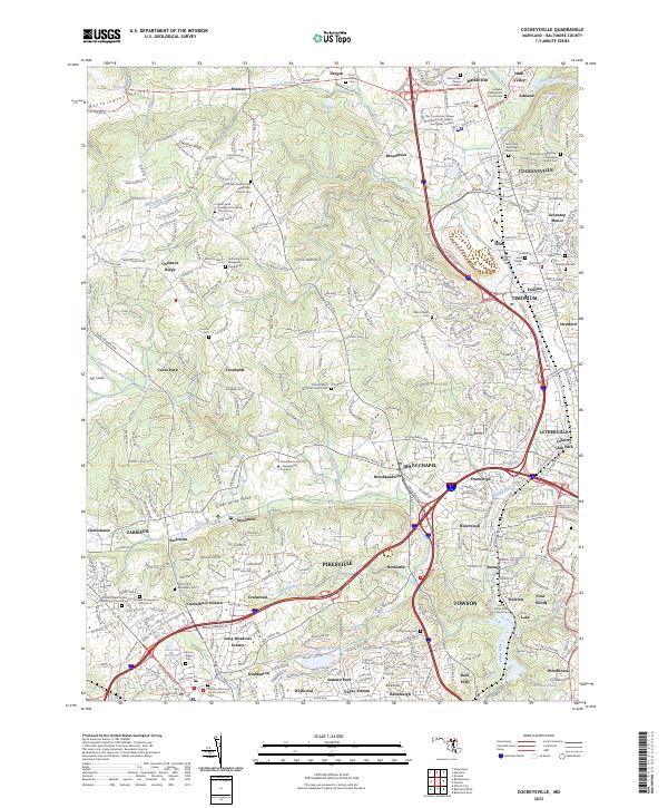
2023 Map of Cockeysville
USGS Topo · Published 2023About this map
Cockeysville and its surrounding suburban enclaves anchor this 2023 study of Baltimore County, where dense residential development meets the steep drainage basins of Jones Falls and Western Run. The landscape is characterized by its deep-rooted institutional history, featuring a high concentration of cemeteries and historic religious sites such as the Bazil African Methodist Episcopal Church and Saters Baptist Historical Church. From the retail hub at Hunt Valley Towne Center to the academic grounds of Stevenson University - Greenspring Campus, the map documents the modern infrastructure of northern Maryland. Notable family-linked history is preserved in the Price Family Cem and the numbered Baltimore County Graveyard Number 86. Significant water features like the Pikesville Reservoir and Oregon Pool are recorded alongside the winding paths of Beaverdam Run and Slaughterhouse Branch, showing the complex hydrologic network that still defines the Worthington Valley area.
Find a feature on this map
241 named features on this map. Tap any name to fly to it.
Don’t see what you’re looking for? This feature index may not catch every label — zoom into the map to look around manually.
Map Details
Editions of this 2023 Cockeysville Map
This is the sole edition of this map. No revisions or reprints were ever made.
Other maps of this area

1892 · Ellicott
USGS Topo · 1:62,500

1894 · Ellicott
USGS Topo · 1:62,500

1894 · Baltimore
USGS Topo · 1:62,500

1899 · Baltimore
USGS Topo · 1:62,500

1900 · Parkton
USGS Topo · 1:62,500

1902 · Parkton
USGS Topo · 1:62,500

1904 · Baltimore
USGS Topo · 1:62,500

1905 · Westminster
USGS Topo · 1:62,500

1906 · Ellicott
USGS Topo · 1:62,500

1908 · Patapsco
USGS Topo · 1:125,000