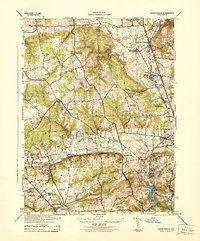
1943 Map of Cockeysville
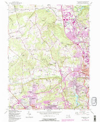
USGS Topo · Published 1958About this map
The valley of Green Spring Valley serves as a pastoral centerpiece for this 1943 survey, where the Pennsylvania railroad line threads together established communities and country estates. In the east, the Maryland State Fair Grounds is noted as a military depot, reflecting the era's wartime footprint near Timonium and Towson. The landscape is dotted with private institutions and social landmarks, including the Beaver Dam Swimming Club and numerous country clubs like Five Farms Golf Course and Woodholme Golf Course. Local history is anchored by spiritual and civic centers such as Saters Church, Carroll Chapel, and the vast Druid Ridge Cemetery. This map captures a transition point in Baltimore County history, where agrarian ridges like Chestnut Ridge meet the expanding suburban reach of Pikesville and Ruxton.
Find a feature on this map
48 named features on this map. Tap any name to fly to it.
Don’t see what you’re looking for? This feature index may not catch every label — zoom into the map to look around manually.
Map Details
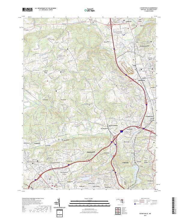
Editions of this 1943 Cockeysville Map
This is the sole edition of this map. No revisions or reprints were ever made.
Historical Maps of Kenilworth at Charles Through Time
4 maps found